On the second day of our Montenegro adventure, we decided to top out our last day of hiking in Durmitor on feet with the conquest of Bobotov Kuk, the highest peak of Durmitor mountain range, starting from Crno Jezero lake side.
Before going on Durmitor adventure...
To no surprise, the night at the camping, near the Durmitor mountains heart (1500 m a. s. l.), was freaking cold. It's chilly at night around Zabljak even in the summer time, but now, in the early Autumn, it felt rather like winter!
Sleeping bag, two quilts, lots of layers of clothes and... we somehow managed to survive.
We woke up at 6 am and after looking outside.. We got back to sleep, feeling sore in every muscle fiber after yesterday’s walk to Savin Kuk. We somehow got ourselves together one hour later, though we still felt a little tired.
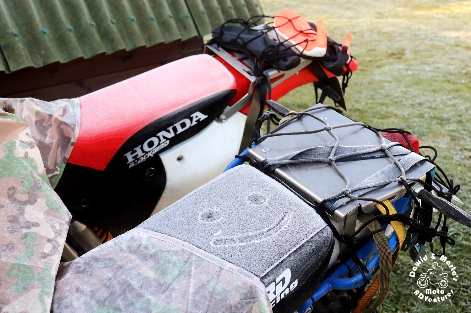
The frost was all around. But we didn't allow ourselves to be discouraged!
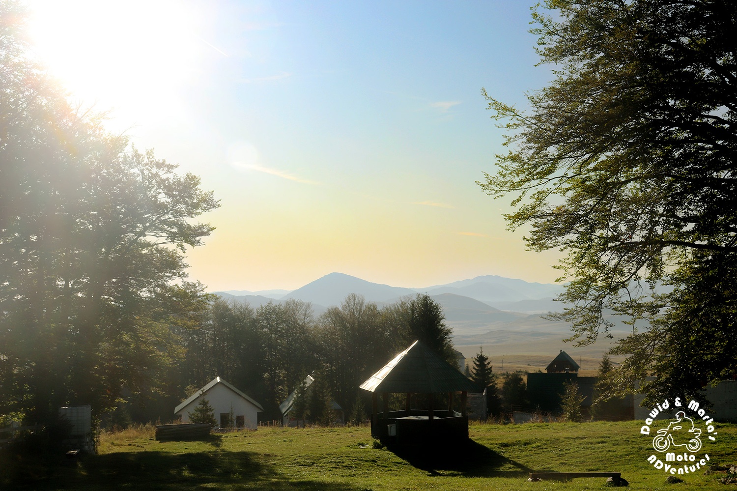
Quick coffee, croissant and we were on the route to Zabljak.
Despite the coldness, the sky looked promising.
The plan for this day was to, again, leave the bikes at the camping and go for a hike to reach Bobotov Kuk ( which is 2523 m a. s. l. high)! So the highest mountain peak in Montenegro!...
Or no, actually, as there is also Zla Kolata peak. It’s 11 meters higher. But as it lies at the border of Montenegro and Albania, not everyone consider it to be a part of Montenegro.
But for sure we can say, without lying, we were heading on the highest mountain of the Durmitor range ;)
Our planned route looked like this:
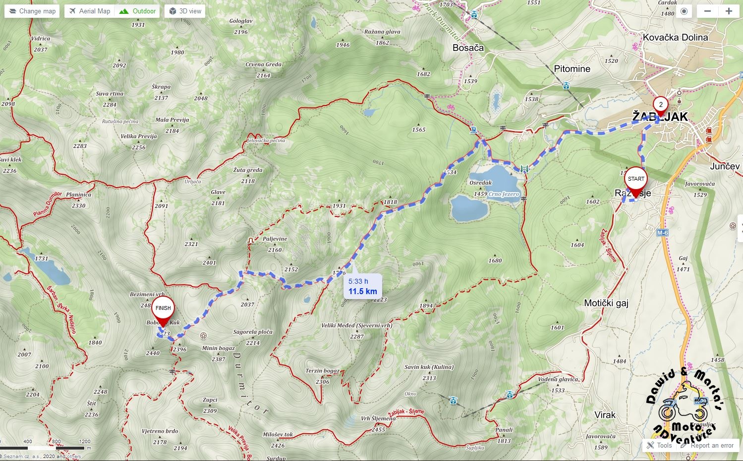
We had 5.5 hours of walking up! So before hitting the trail, we first dropped by the market and our favourite bakery in Zabljak to fill our food and water supplies.
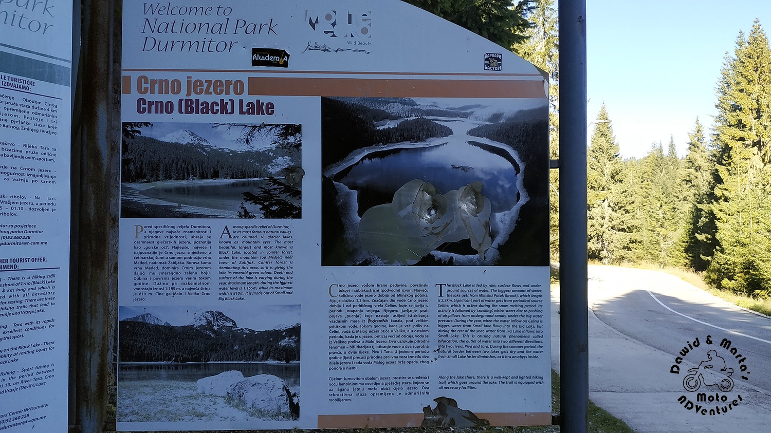
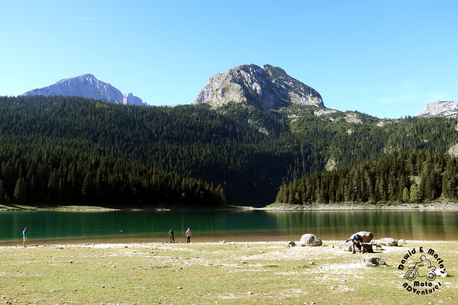
Only then we started from walking to, mentioned in the most tourist guides, Crno Jezero lake - the biggest and the best known of Durmitor 18 eyes (glacial lakes).
For virtual walk along the whole trail to Bobotov, you can check also our video from this day:
Strolling to Crno Jezero
The walk from Zabljak to Crno Jezero took a little more than 2 kilometers from the total milage of our hiking trip to Bobotov.
The marked trail there leads you mostly by the road sidewalk, so nothing demanding.
I wrote mostly, because there is just one 100 meters long stretch only for pedestrians.
But it was just a shortcut. Otherwise, you can easily drive to the Black Lake (Crno Jezero) by a car.
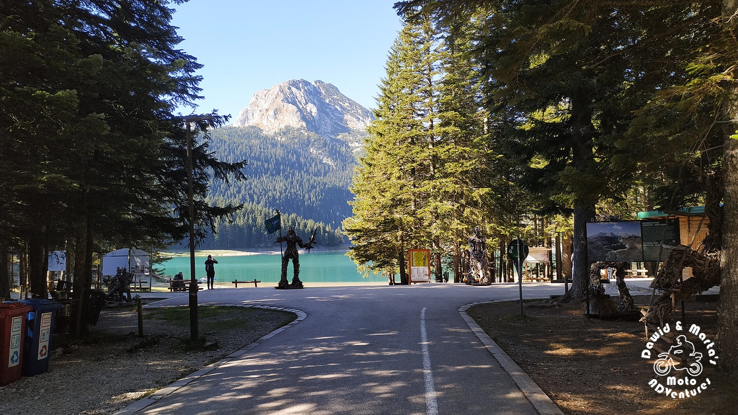
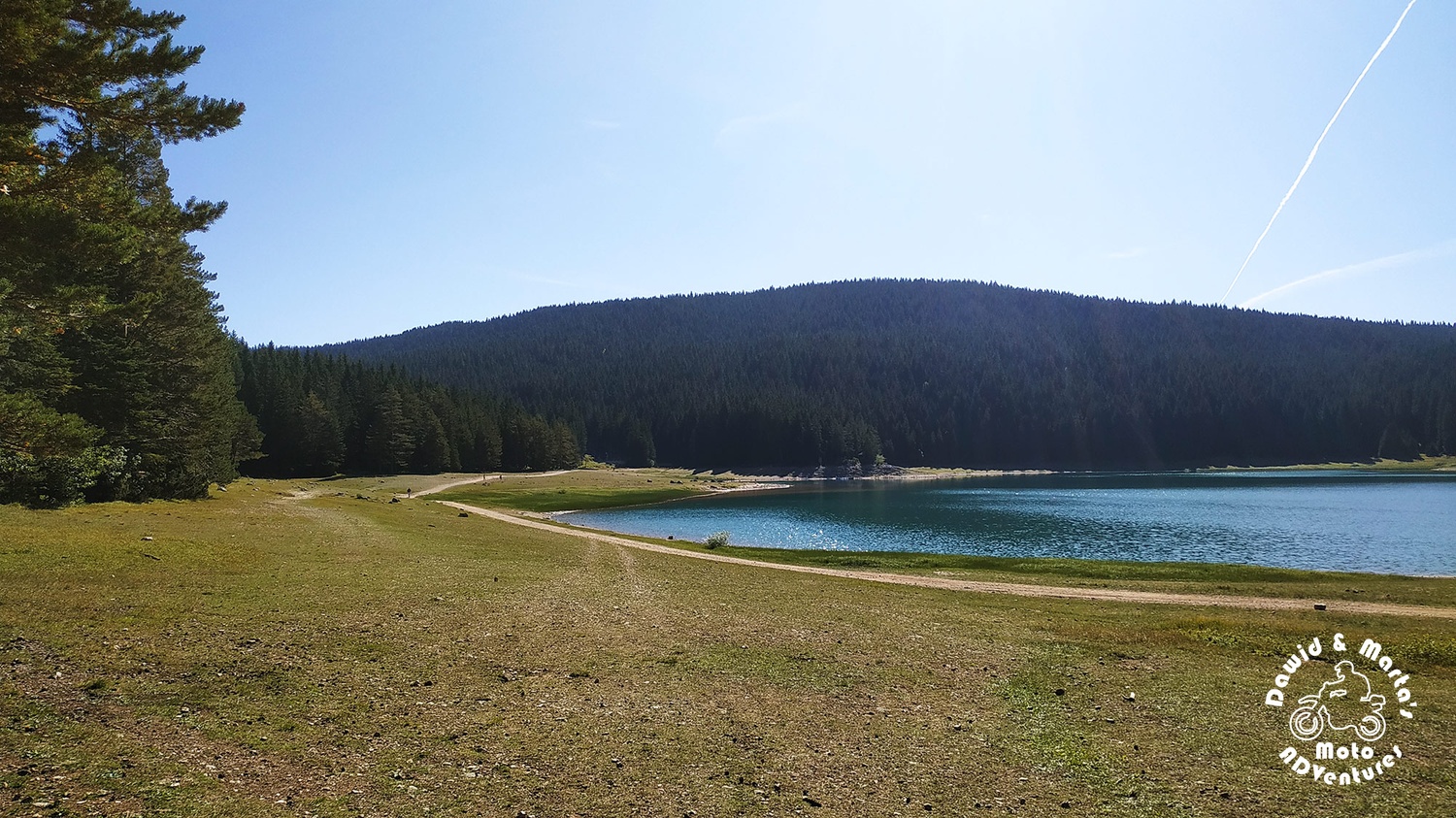
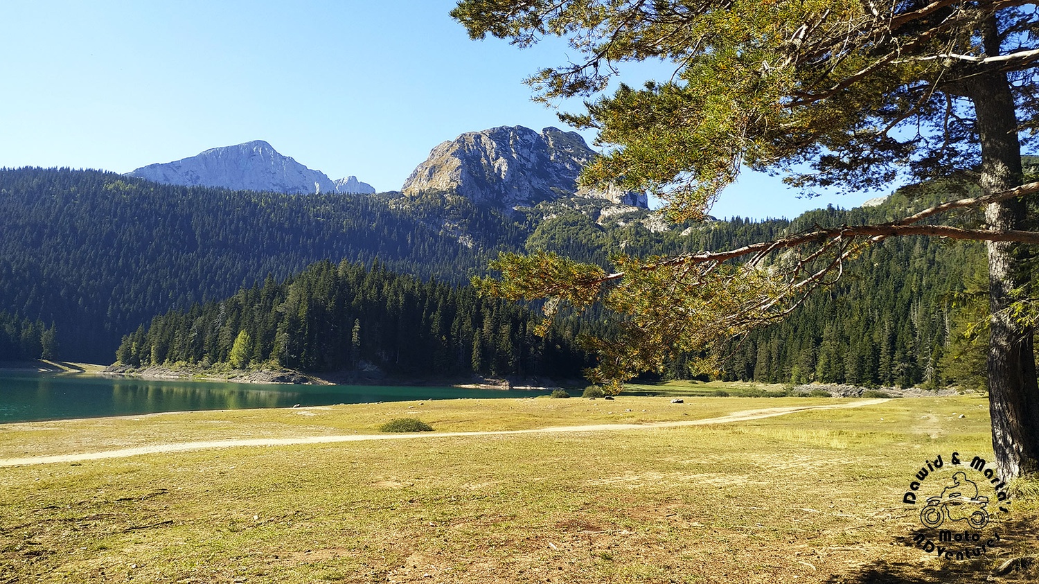
We had sunny sky above, so the lake presented itself with deep turquoise hue. It looked really picturesque.
But I must admit that you could feel this is a popular attraction around. We've met many more people than the day before on our way to Savin Kuk.
But no wonder. The lake is really pleasing to the eyes and there is an easy trail leading around the lake, which is just 3.5 km long and takes around an hour to cover.
Unfortunately, we didn't have that much time as it was already 10 am on the clock and another 10 hours of walking up. So after eating some snack, we started our approach.
From the Black Lake to Lokvice Valley
As I've mentioned above, despite the fact the tourist season had ended, there were plenty of people around the lake. But when we stepped on the trail to Bobotov Kuk, we were walking alone.
We wondered if the season is really late or we are really late for Bobotov, starting our climb almost at midday.
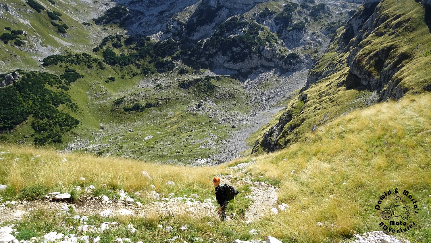
Of course, the trail at first leads you through a forest, which likes to keep some scenic points to itself. No sweat no views! ;)
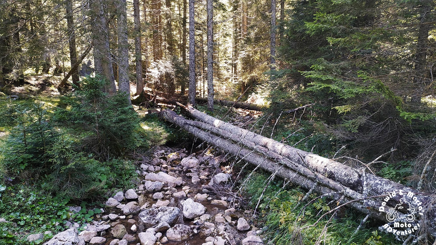
That said, we were sweating like pigs. The trail was really steep!
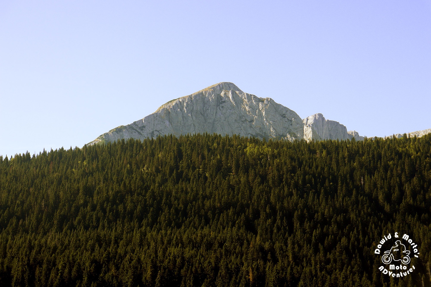
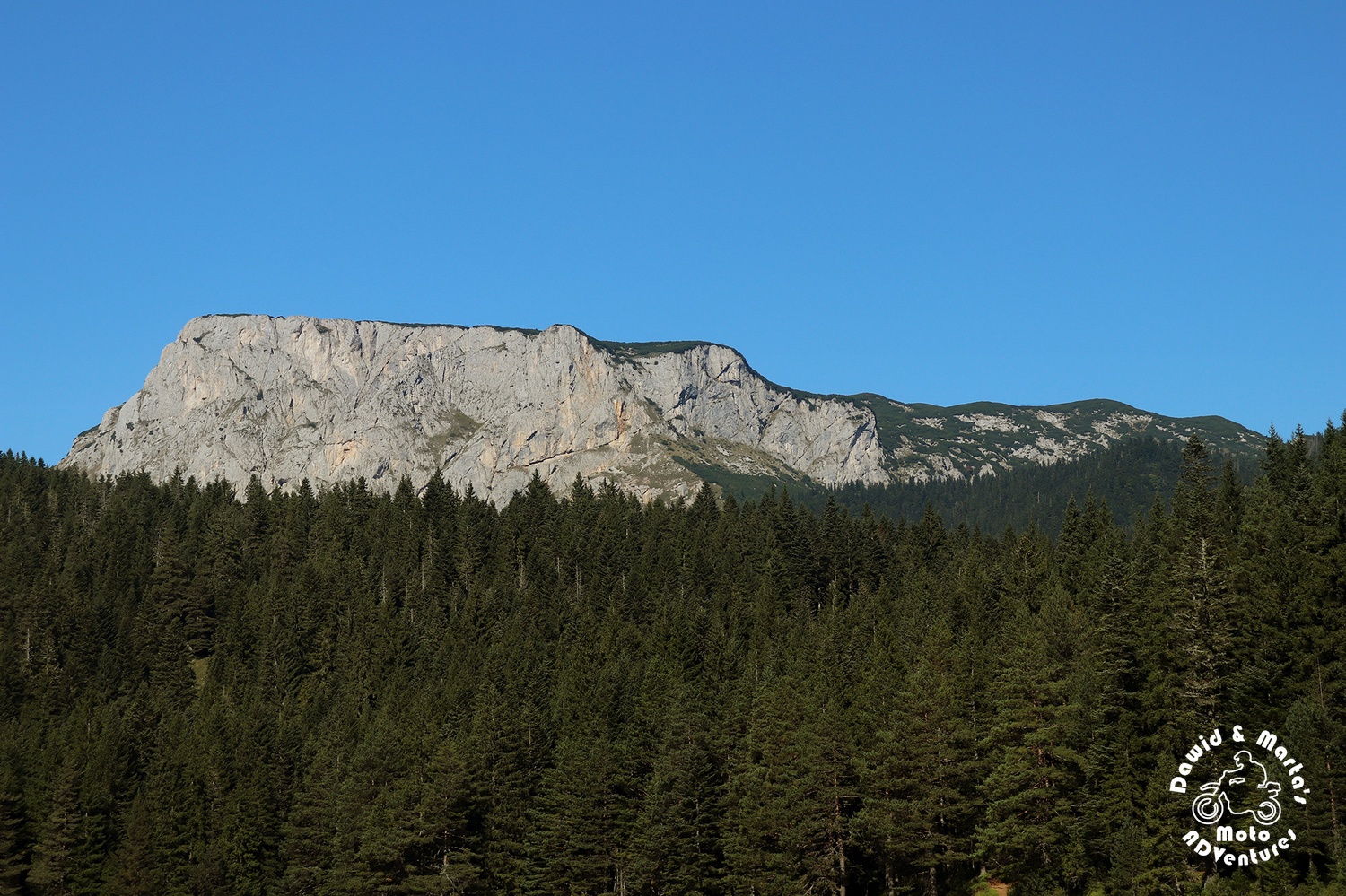
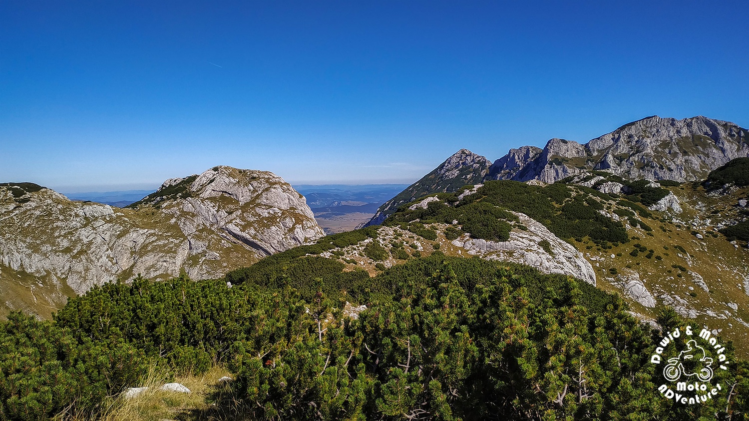
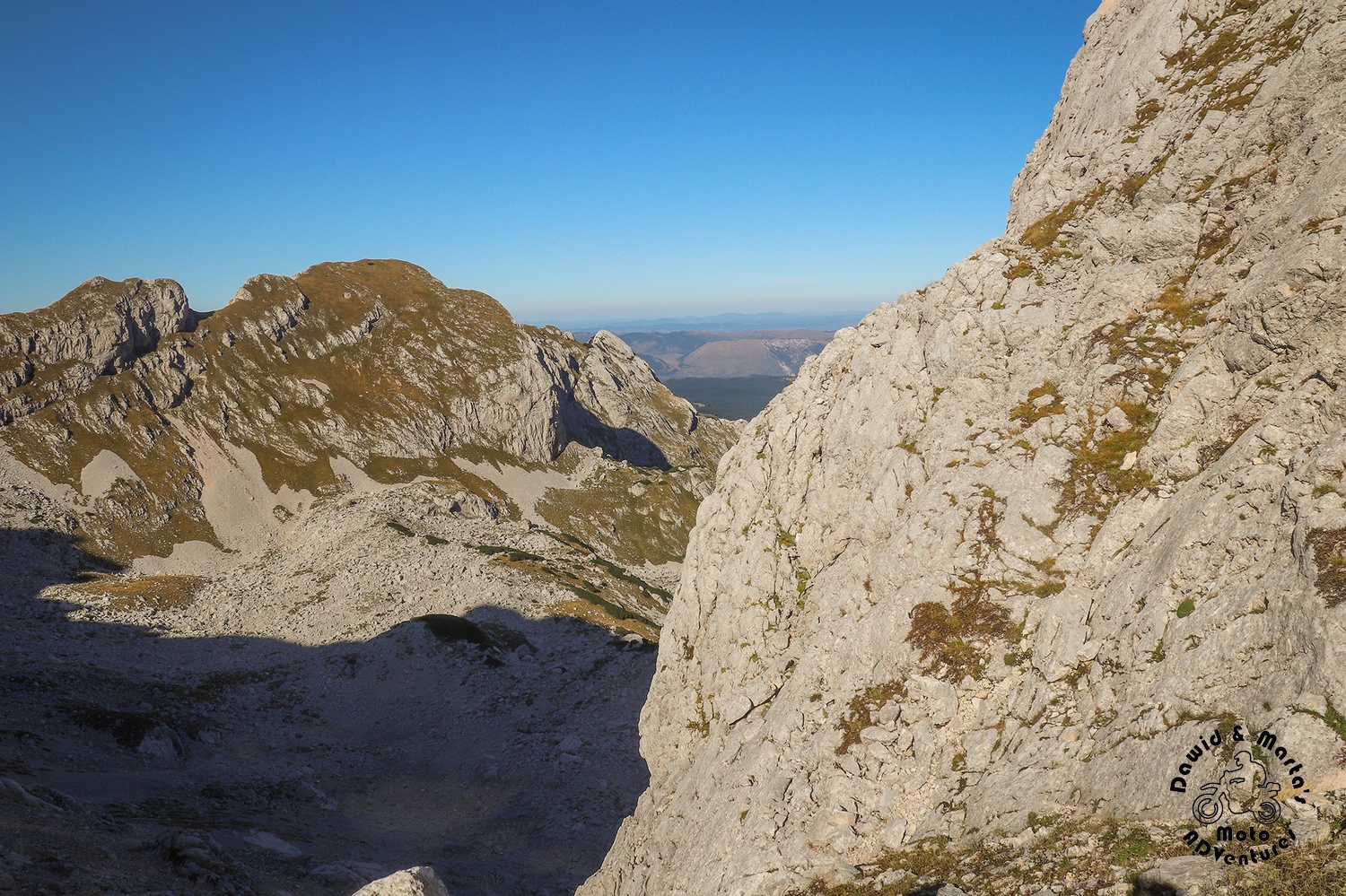
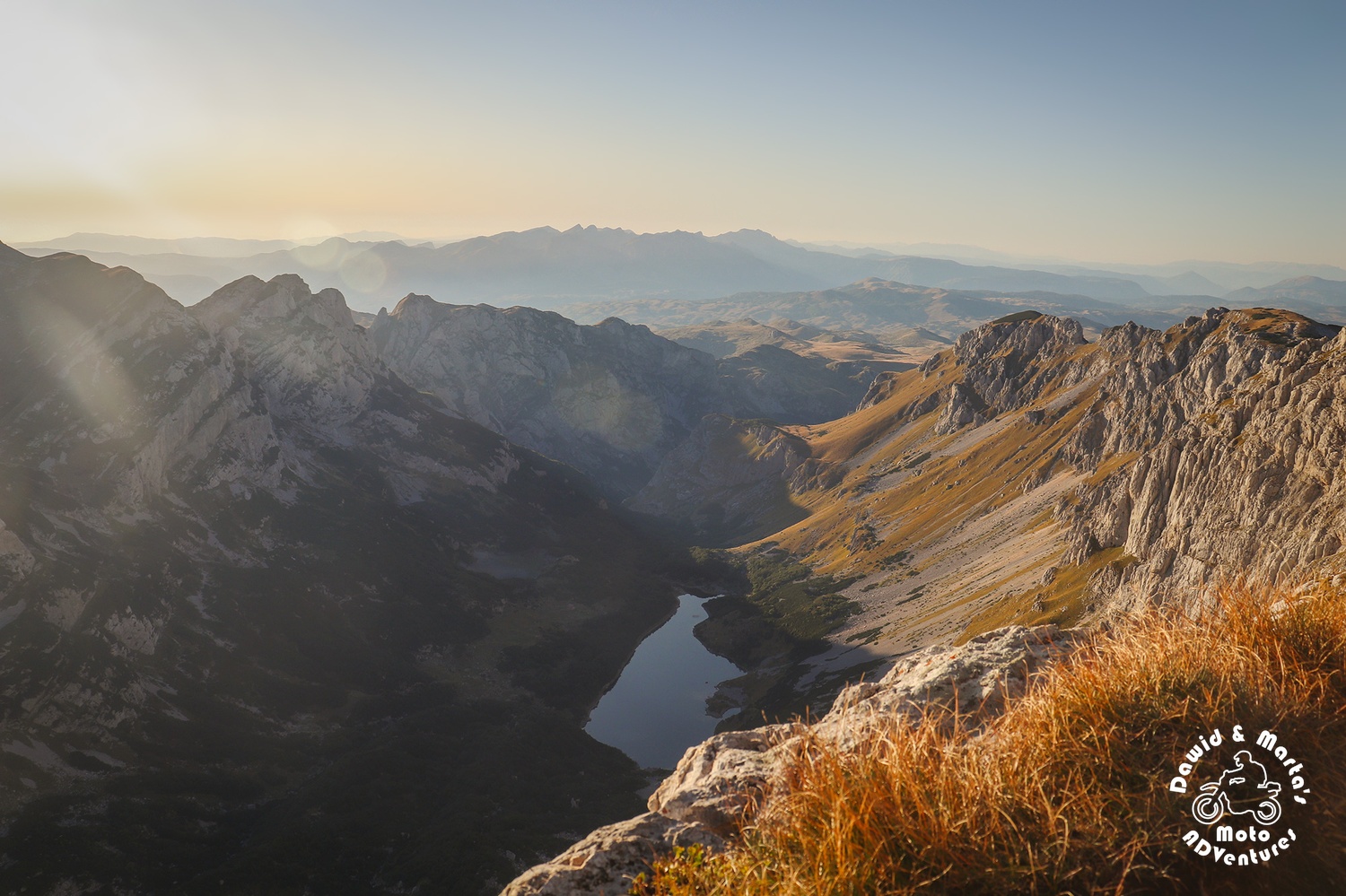
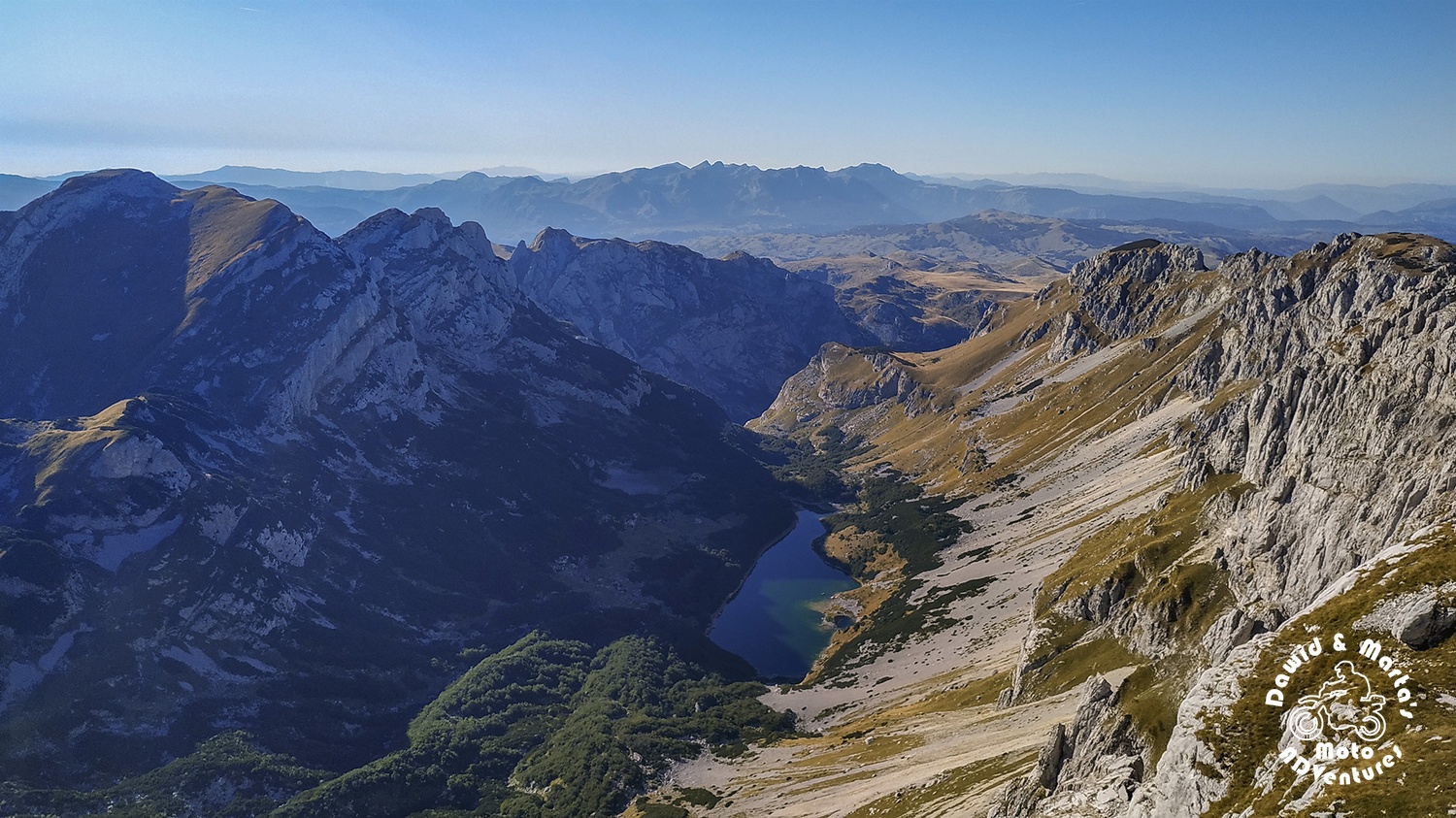
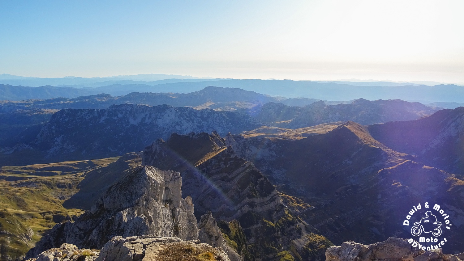
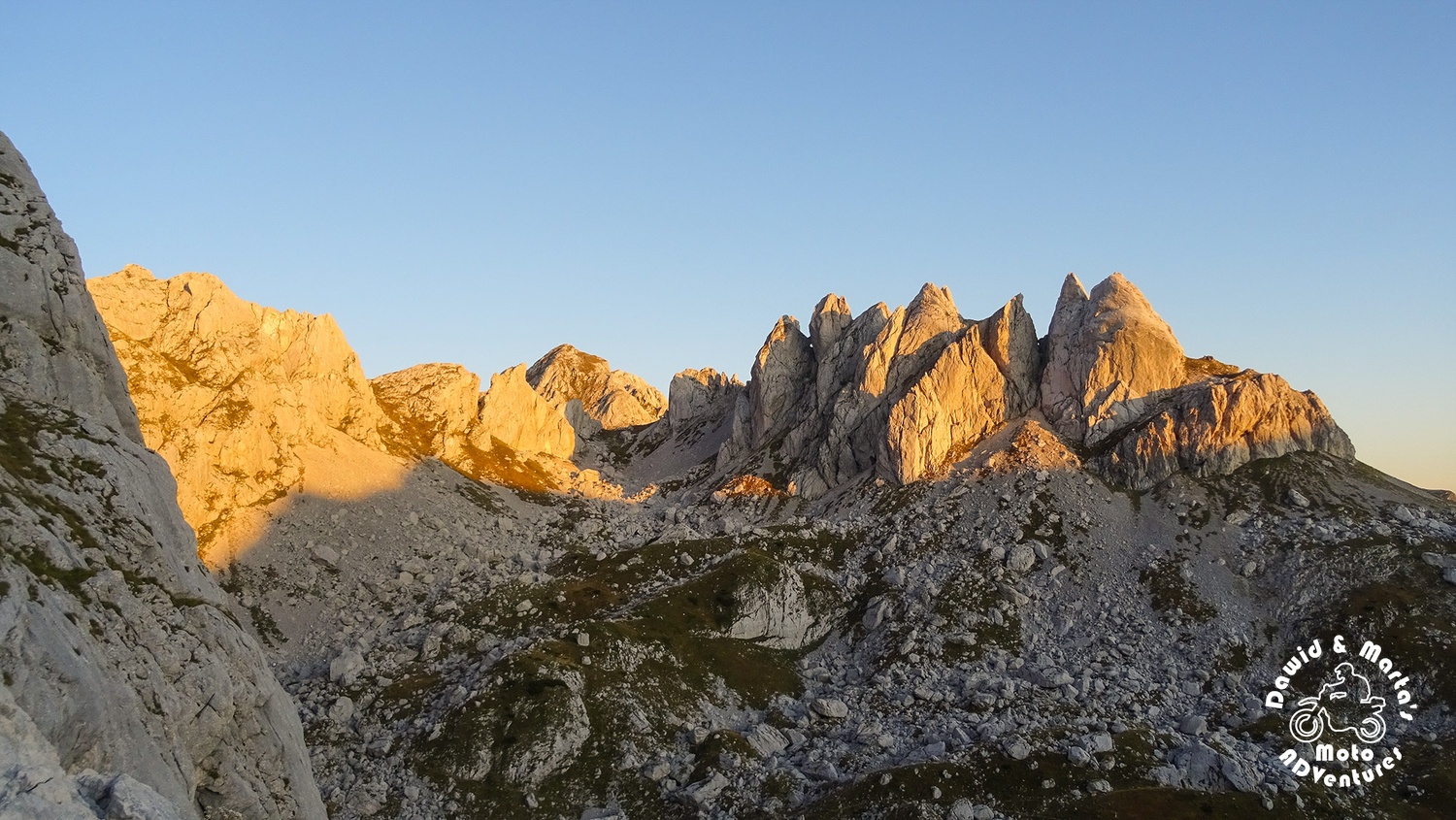
Though, happily, around 1700 meters a. s. l. we could take a closer look on Mali Meded.
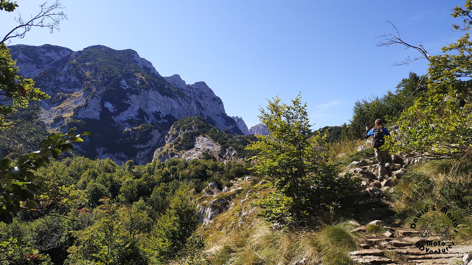
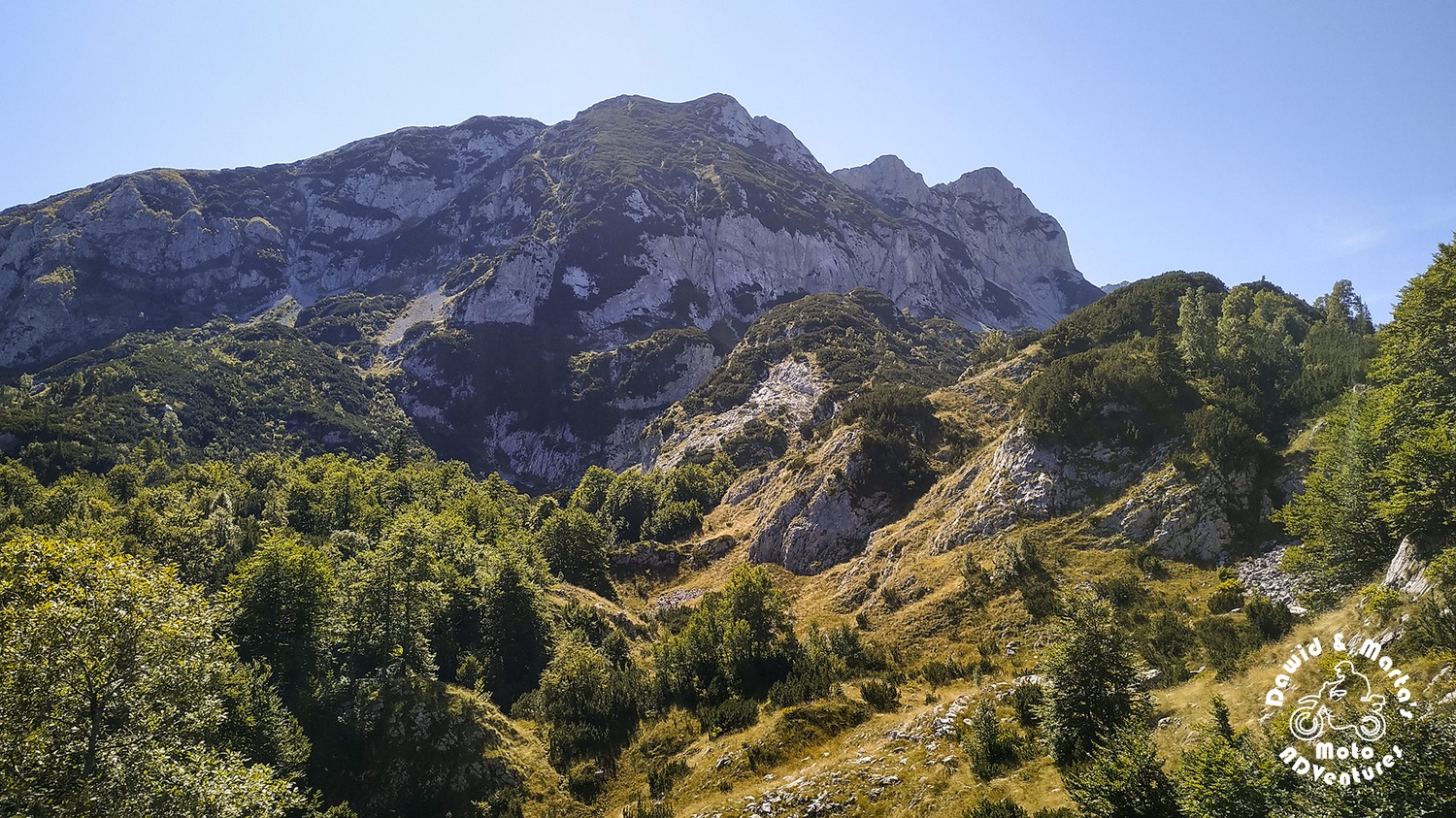
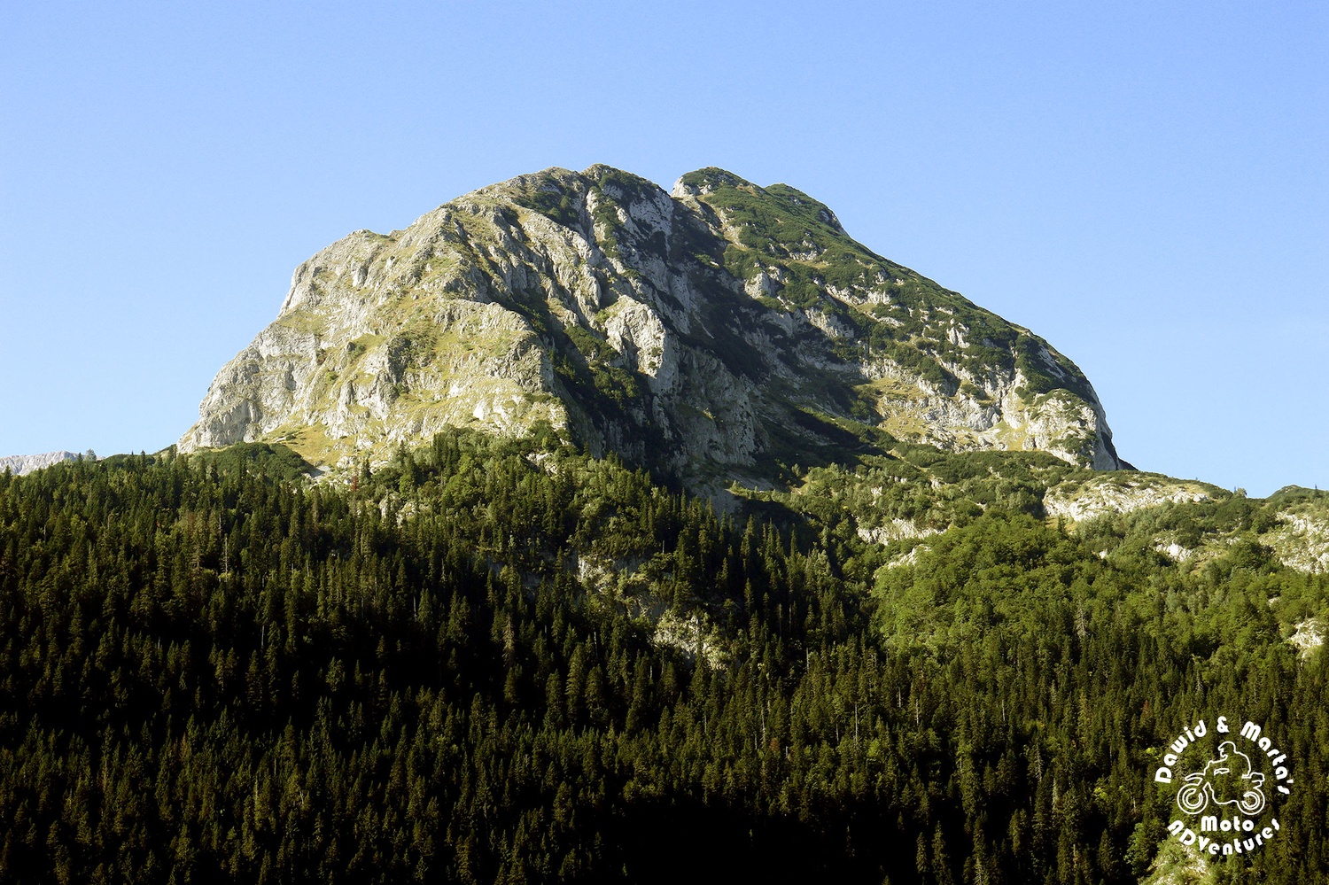
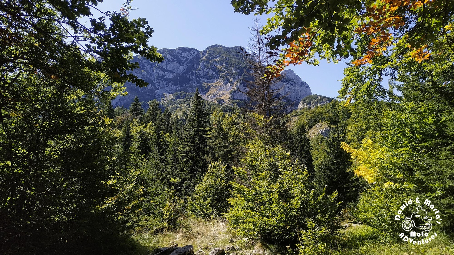
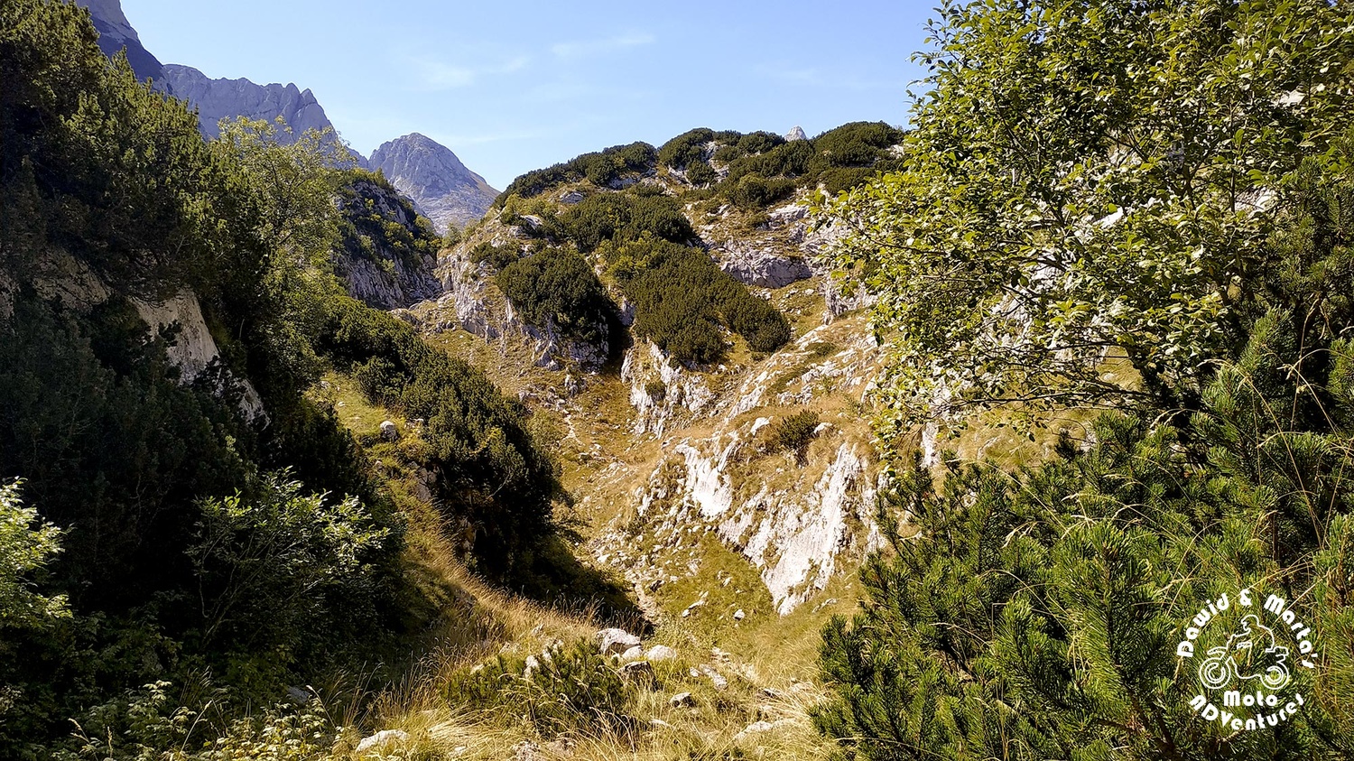
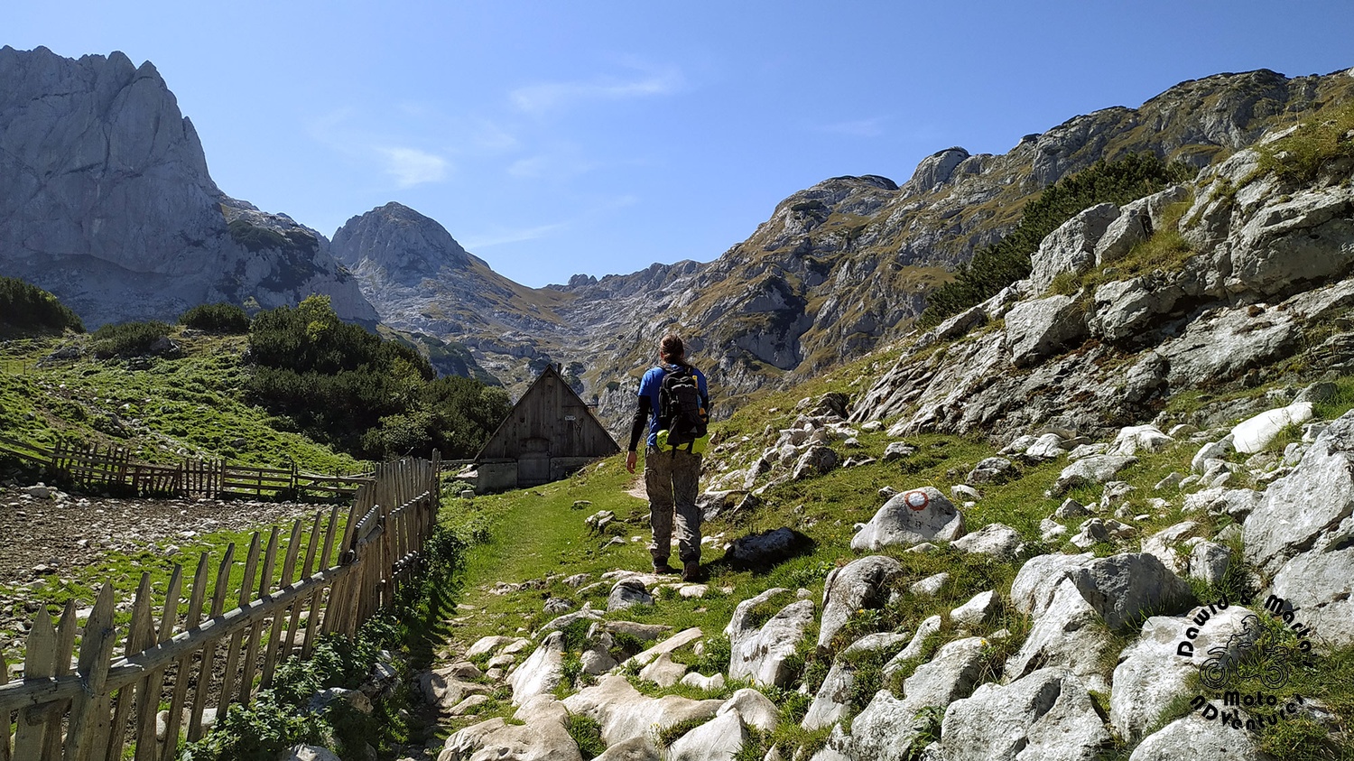
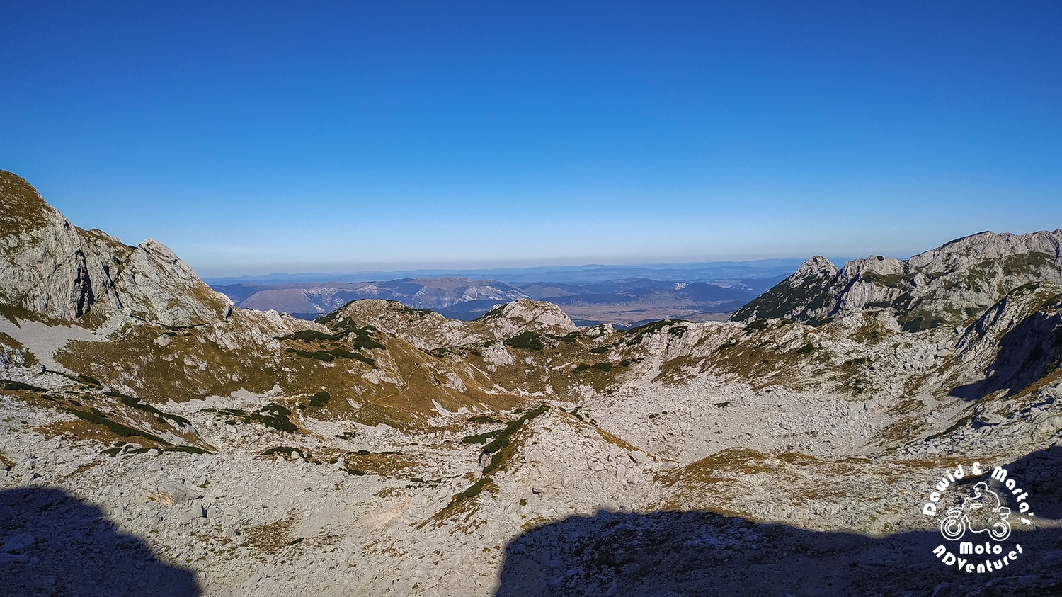
But the most interesting views start to happen after you enter and pass the bottom of a small gorge, past Radulova koliba. Then, suddenly, the rocky tunnel opens wide with a view on a drowning in vivid green valley and surrounding it mountain crest.
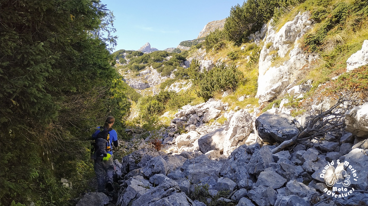
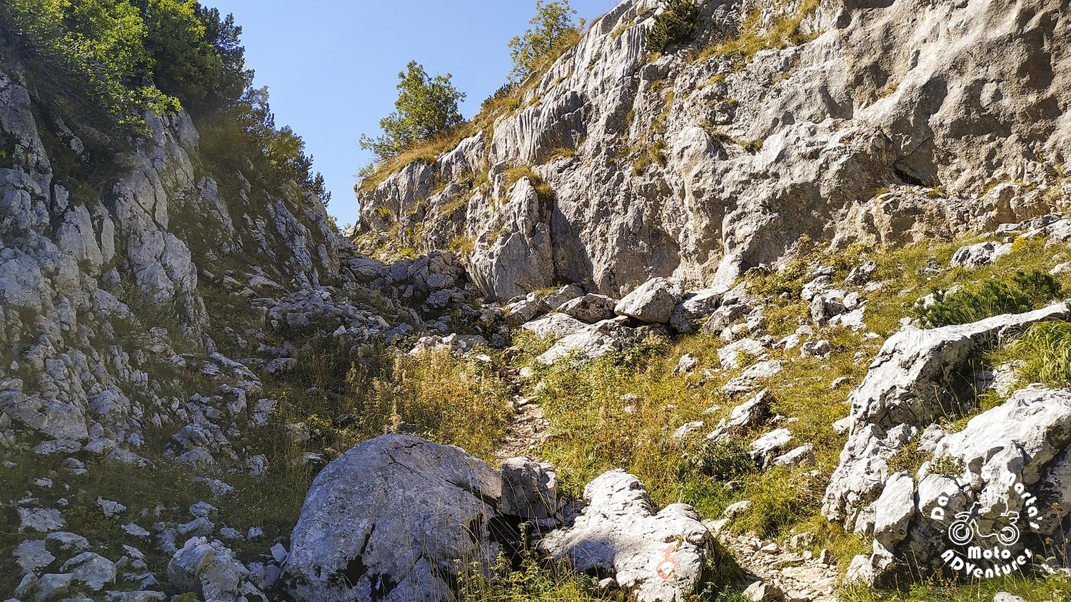
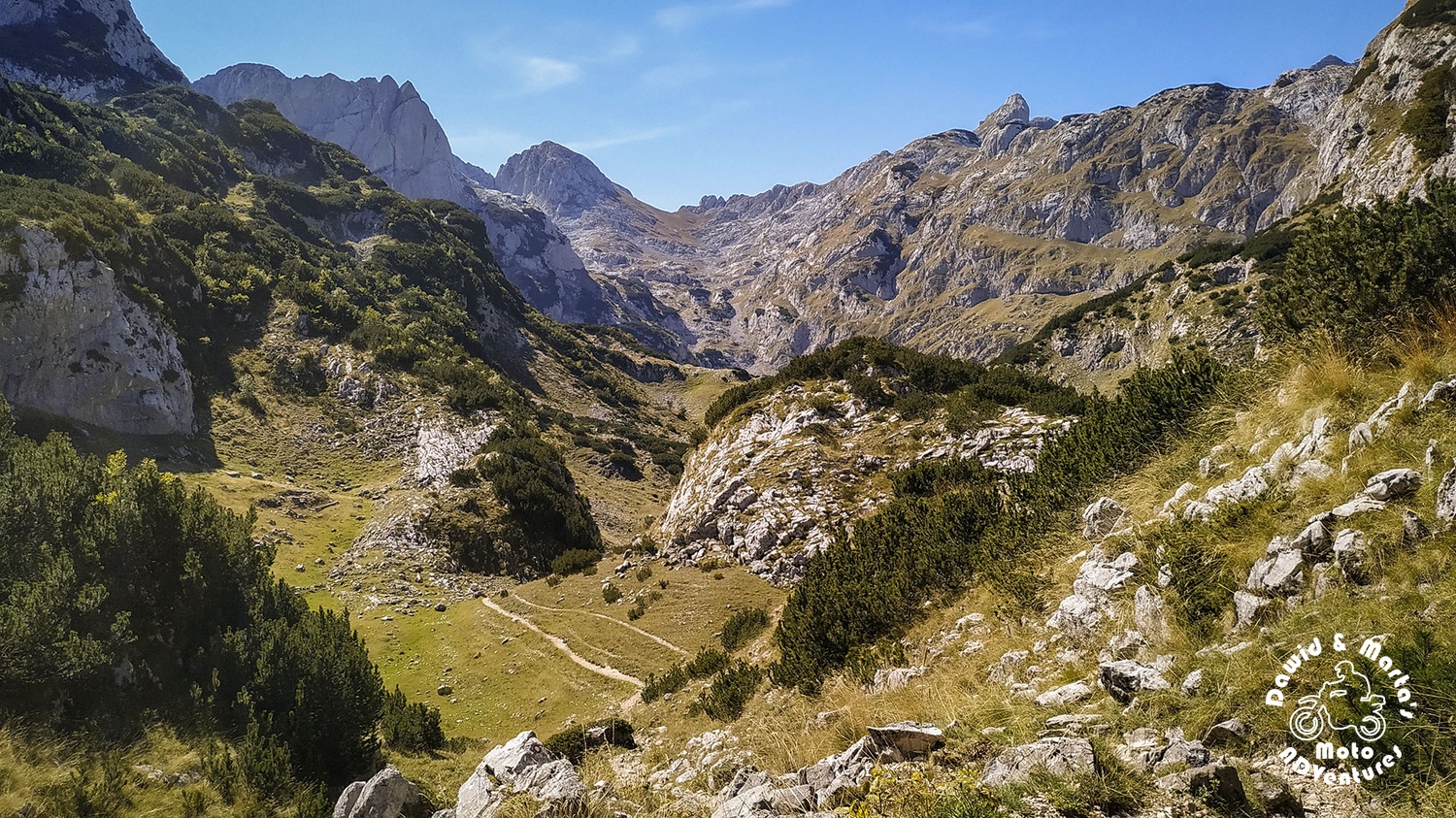
Being and walking there alone felt like we've landed on another planet.
But for sure we were still on Earth...
![00378.MTS_snapshot_00.07_[2020.02.11_21.10.42]s_1200.jpg](/media/images/00378.MTS_snapshot_00.07_2020.02.max-1500x1000.watermark.jpg)
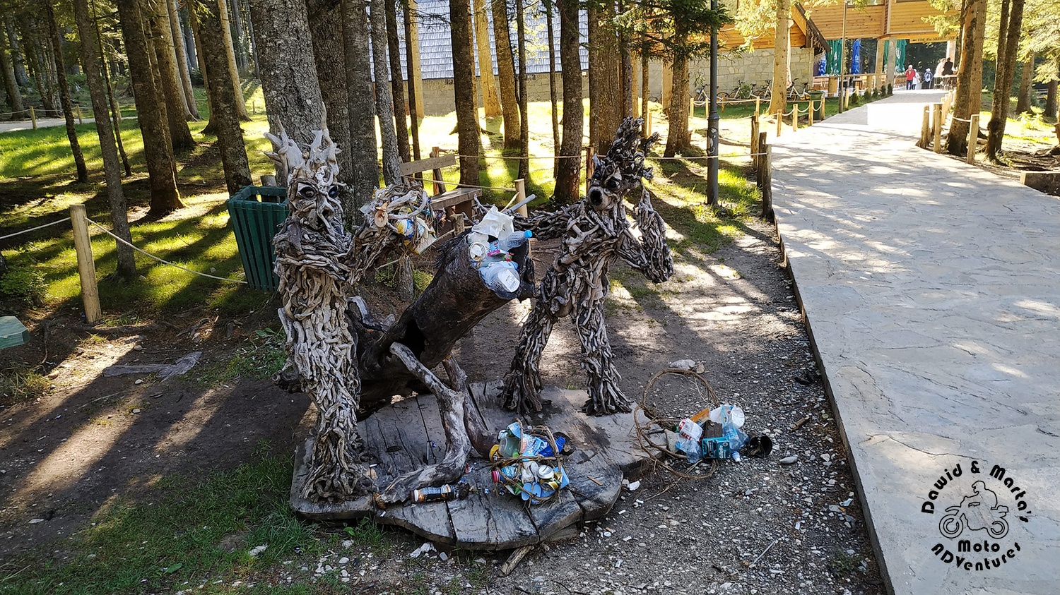
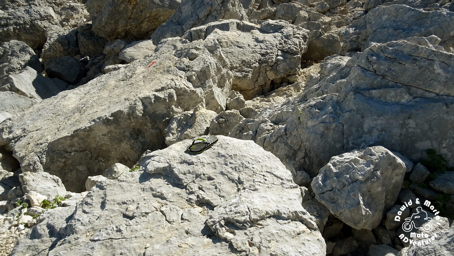
Sad to see something like this. Why do people have the strength to bring all the food up, but fail to bring down the much lighter packaging back to civilization? I will never understand.
Not so far away from the trash pile, we encountered the camping at Lokvice Valley, which lies 1693 m a. s. l. (Katun Lokvice). But it was now actually closed.
There was also a shelter promising beer on its banner, but no one was there.
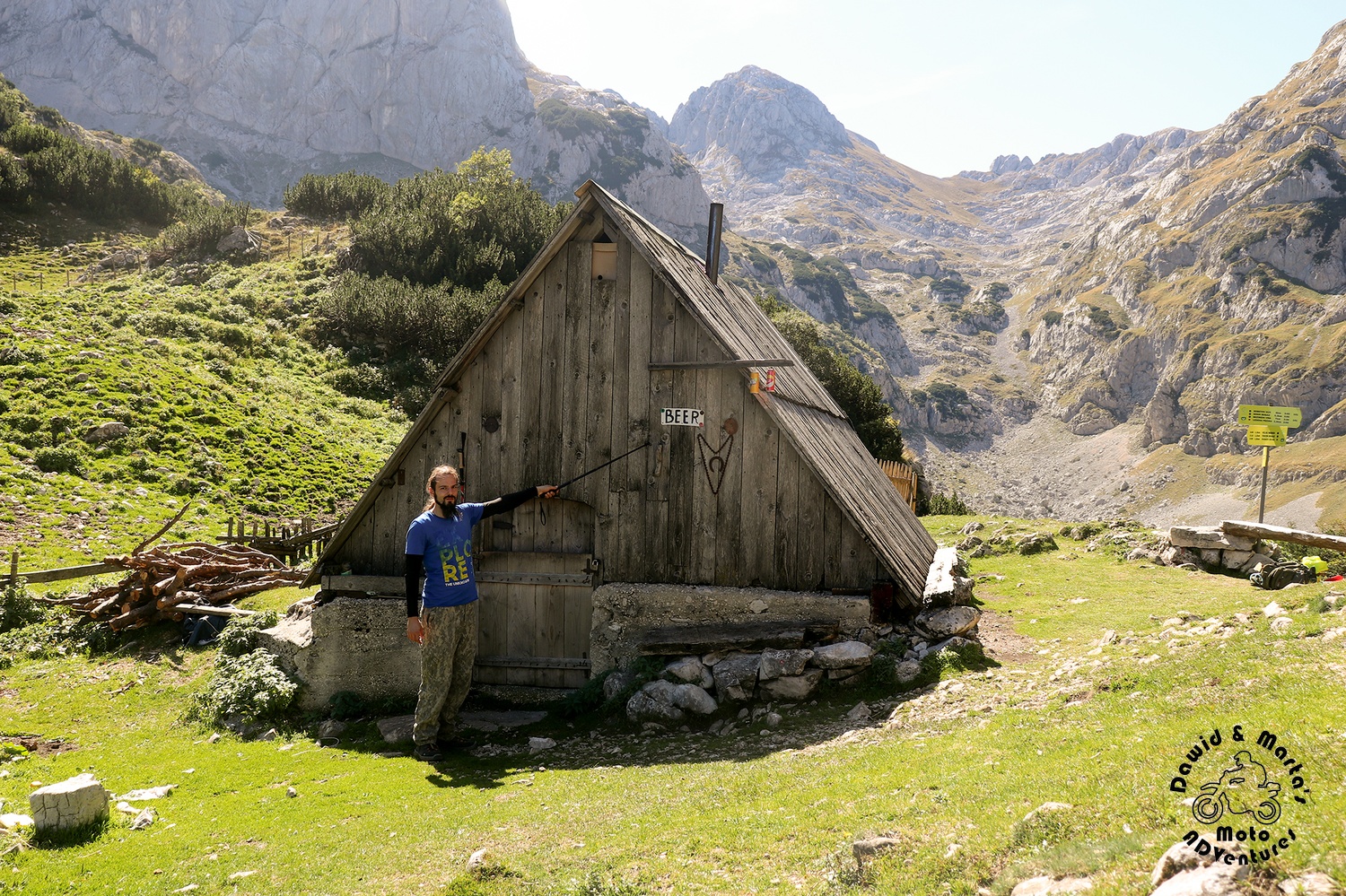
So no people, no beer and... no lake Lokvice - another glacial lake, which was suppose to be there in the valley. (On the side note, on our maps the lake is called Lokvice as the valley, but I also found it's called Vir in some guide.)
Charms of holidays in late September ;)
We didn’t know how long it took us, to get here from Crno Jezero, but the map said it was 2 hours.
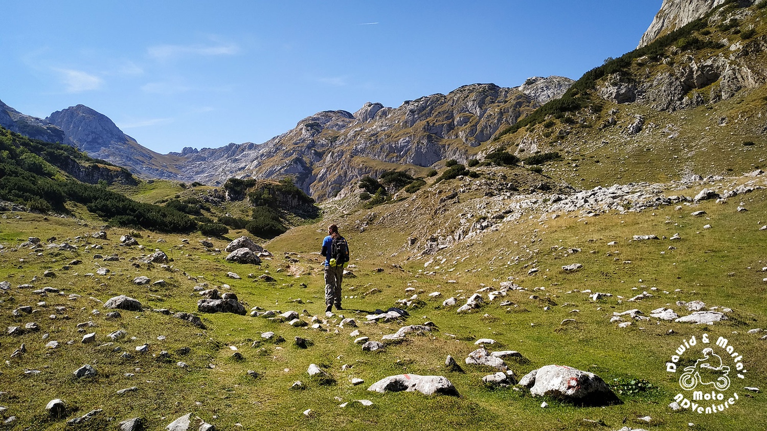
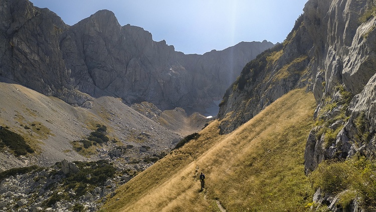
Starting from this little, closed shelter, we traversed the valley around to get to its northern side. From there a pass leads the other side of the valley wall, higher to Prla.
From Prla Pass to Velika Previja Pass
At Prla Pass terrain flattened a bit and we could rest a while, walking
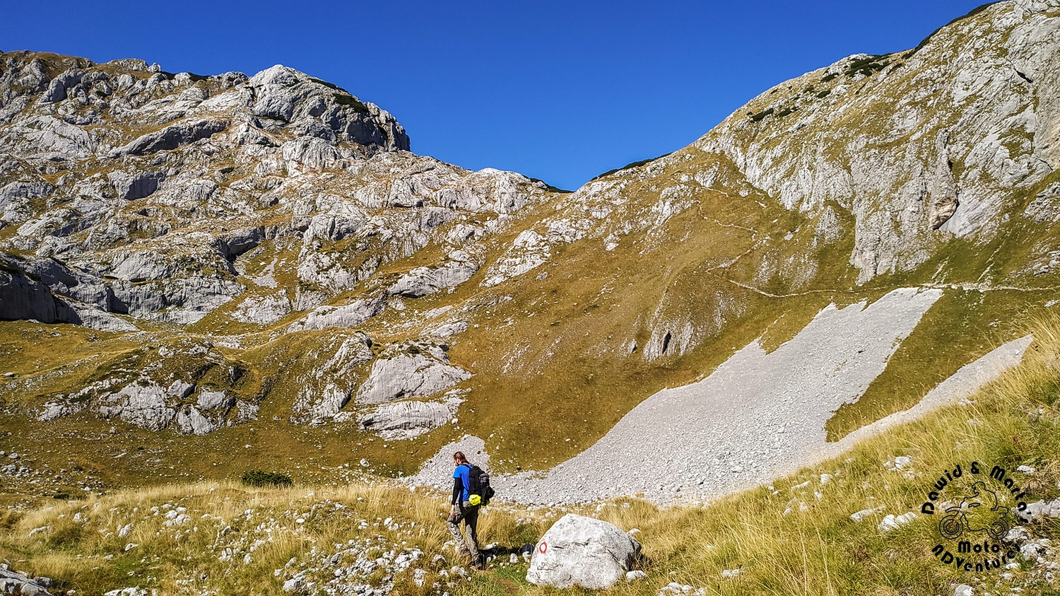
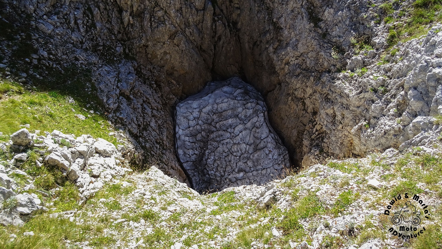
We found another hole on the trail - around 10 meters wide and maybe 10 meters high! But this time it was filled with ice, instead of trash, thankfully.
The walls were really steep… and as it lies just a few meters from the trail, we wondered how many people fell there and how really deep it is. Strange formation.
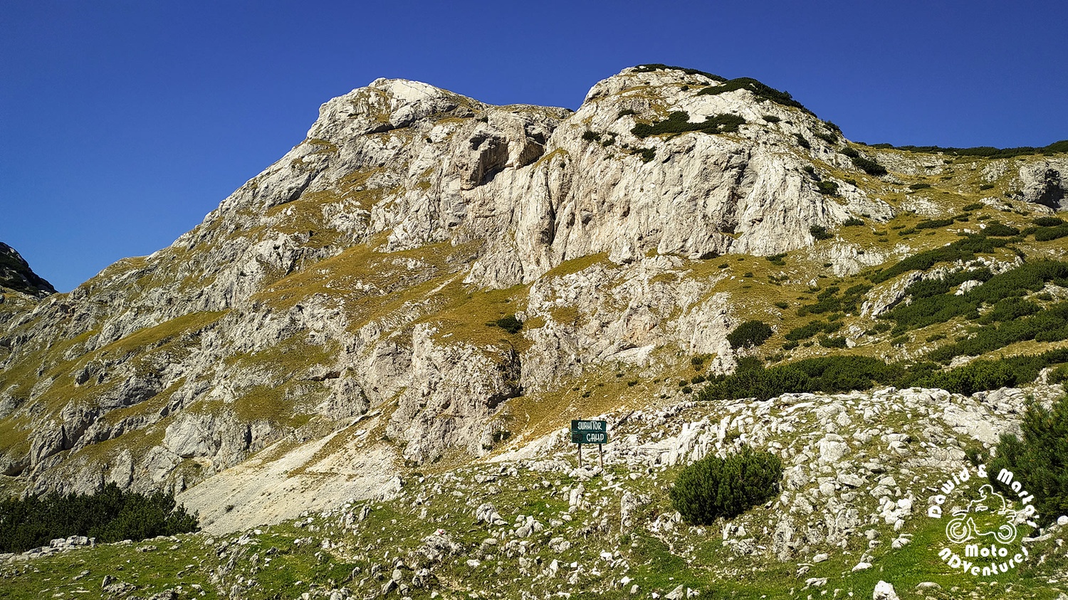
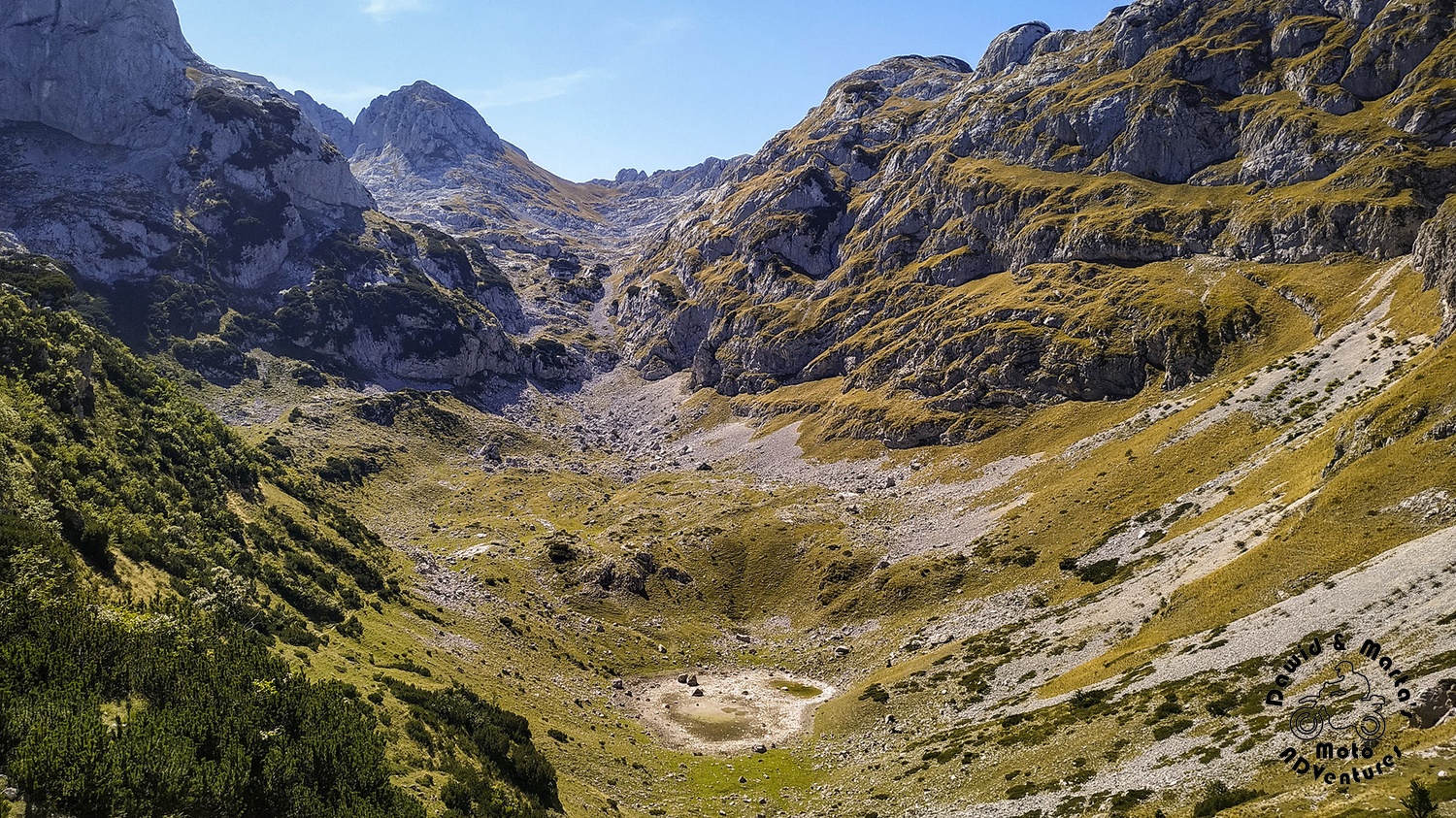
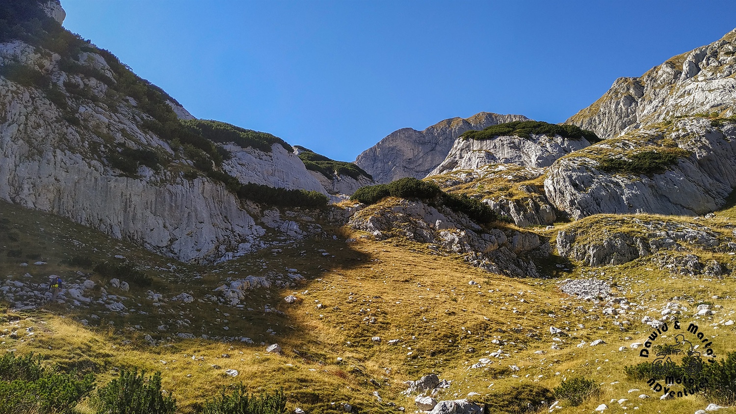
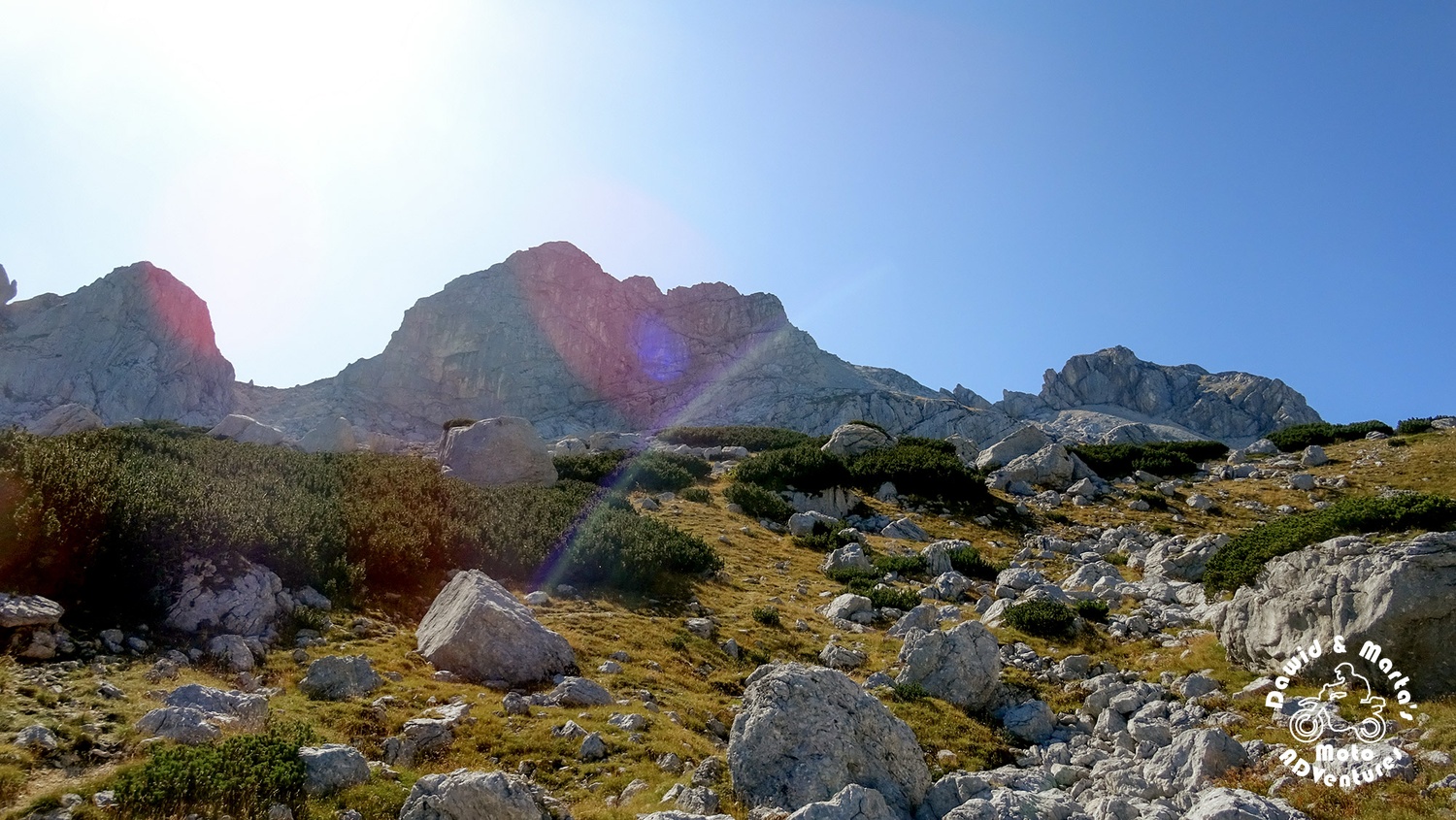
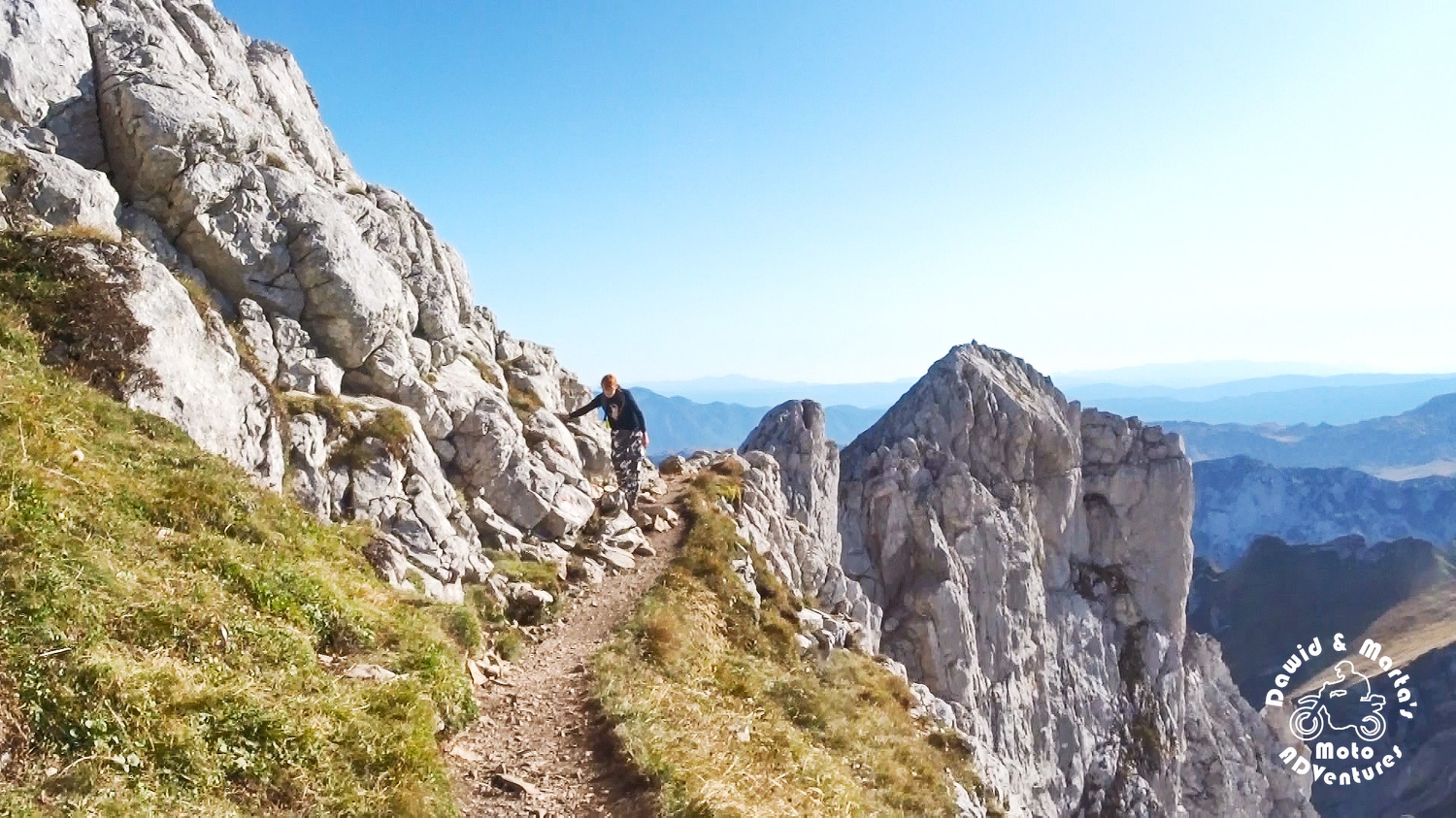
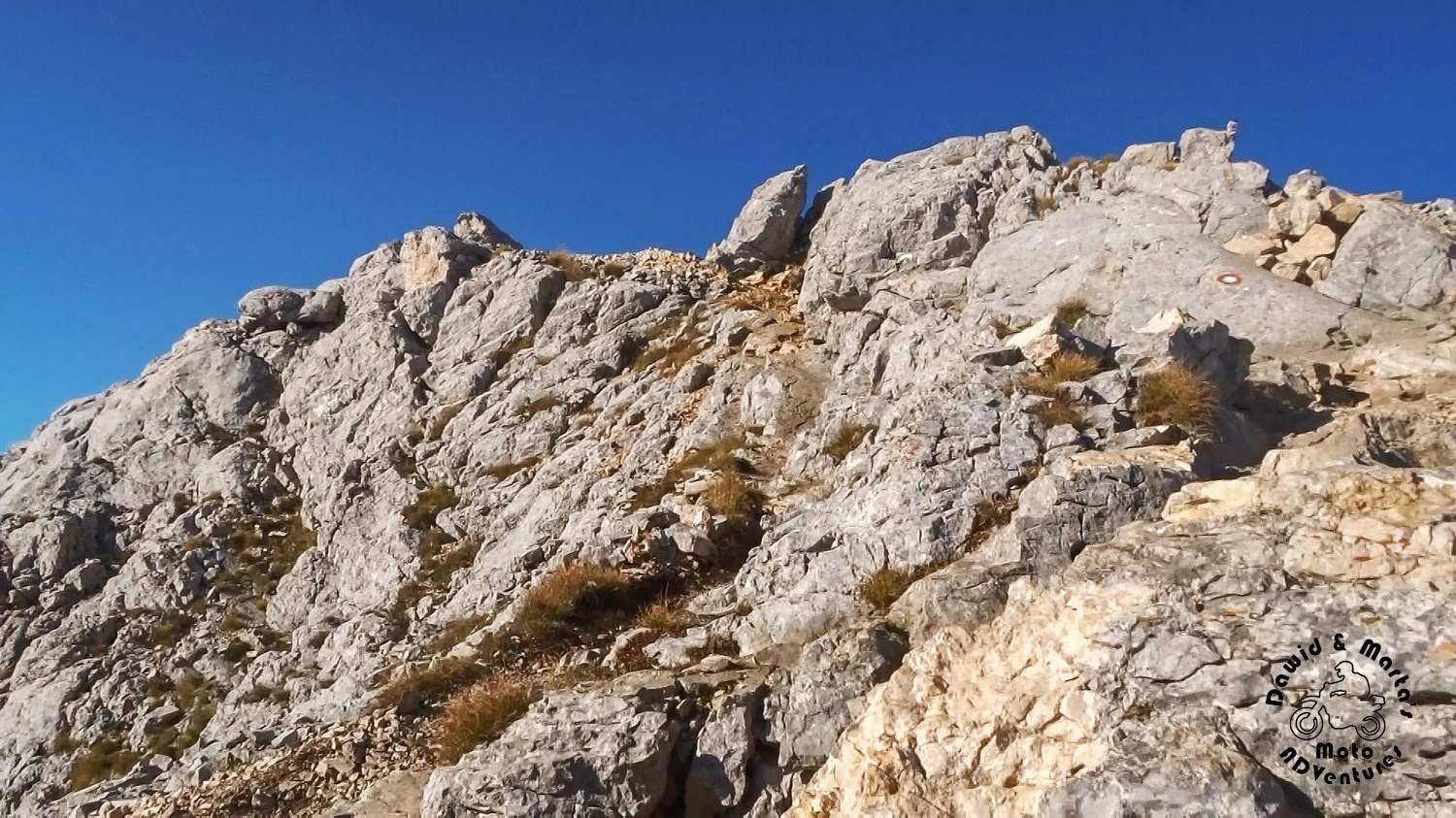
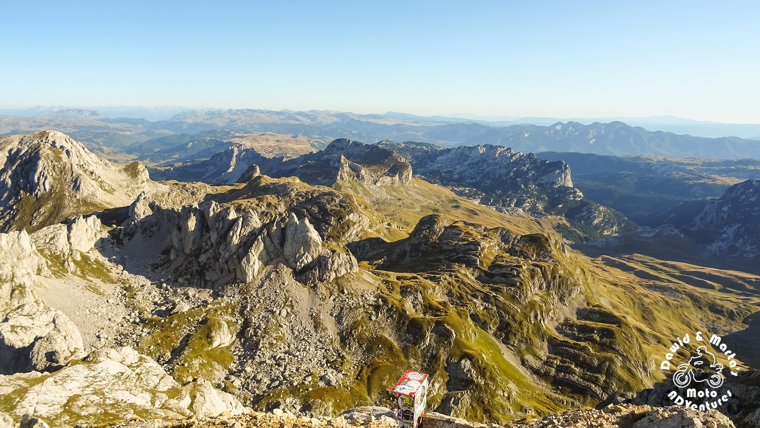
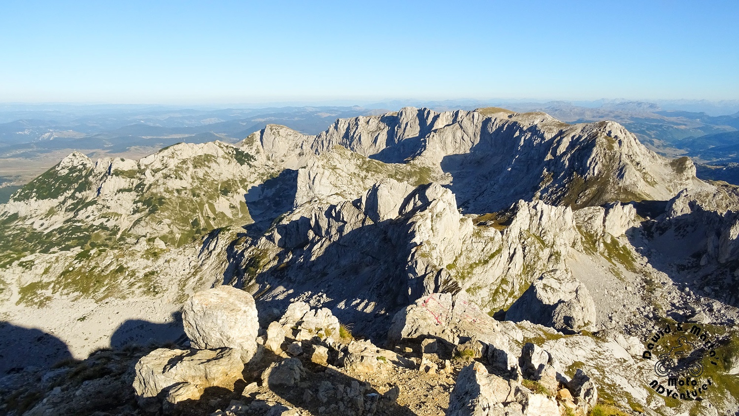
The more we were getting closer to Velika Previja Pass, the more the trail started to turn into a sea of rocks.
We had 350 meters left up. We started to wonder if we shouldn’t turn back. We were walking and walking, hours were passing… and Bobotov seemed not to get any closer. Every 30 minutes we were saying to ourselves that just 30 minutes more and we will go back.
Eventually, we accepted that we would climb just to Velika Previja Pass. Approach to Bobotov seemed to be impossible. The closer, the worse and we were really tired.
But, unexpectedly, we’ve met some guys on the trail. They asked where we were going and from word to word it turned out they were coming from the other side of Durmitor and said that if we backtrack their footprints from Bobotov, in 3 hours we will eventually stumble upon road R-16 through Durmitor. We hadn’t had a car parked there, but that was genius anyway! We would take a hitch-hike!
Our morales were back to normal again and we felt more energized all of a sudden on the thought that maybe we will actually get on this Bobotov!
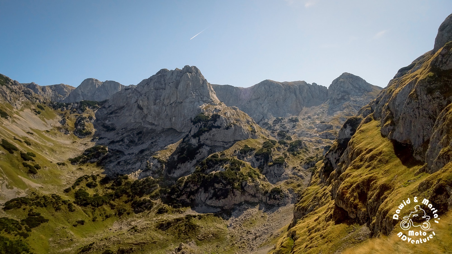
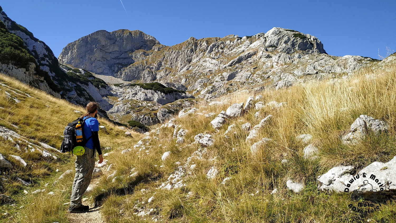
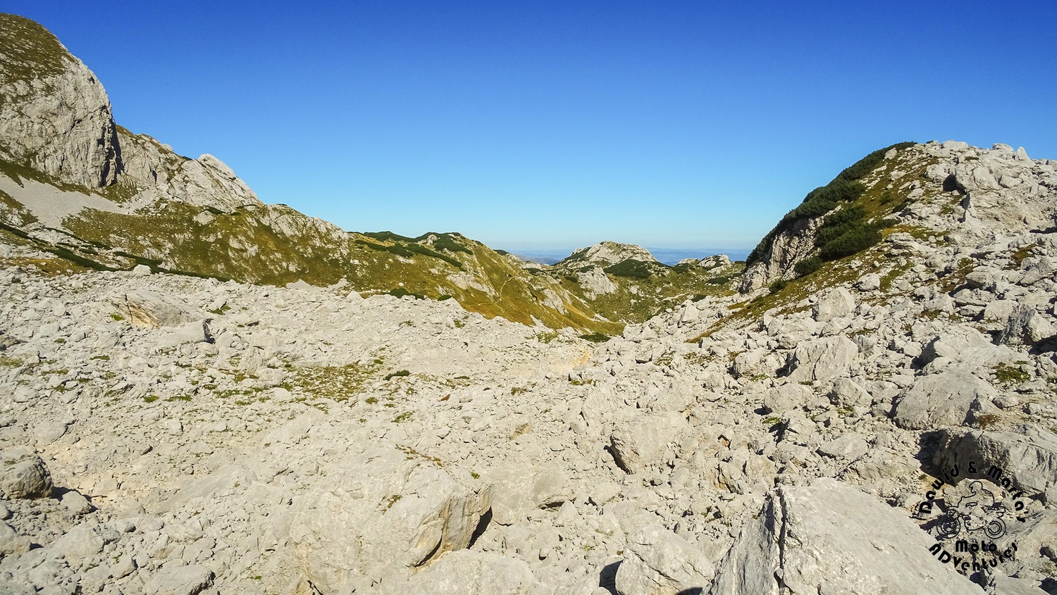
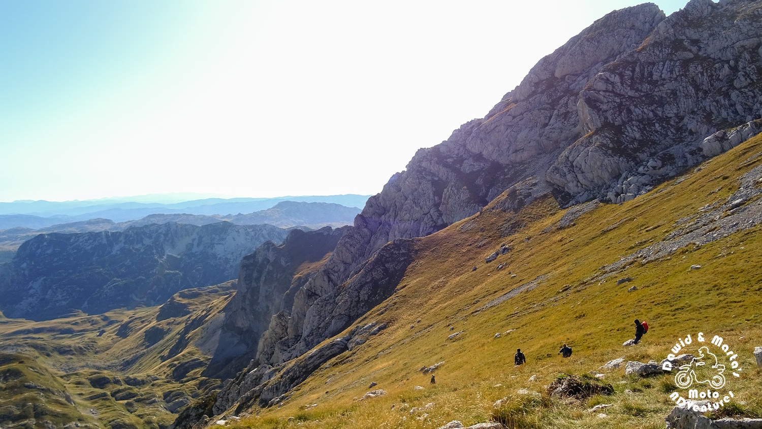
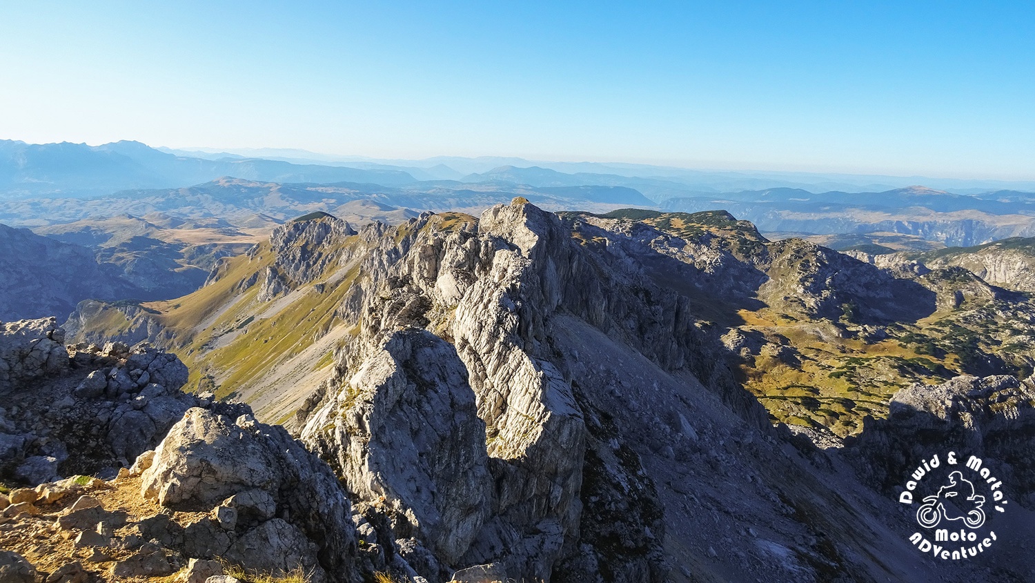
So with refreshed we can do it attitude again, after some more sweating and huffing, we finally reach Velika Previja.
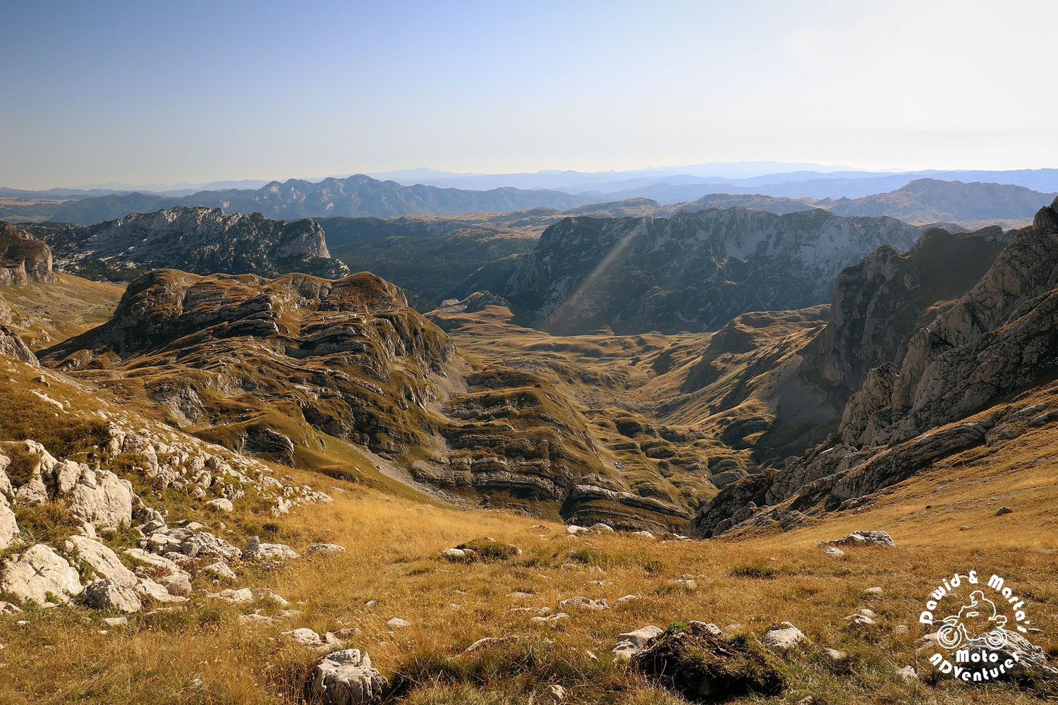
View on the other side of the pass was completely different to the landscape of the sea of rocks to which we were accustomed to for the last few hours.
We made a longer rest here and ate something to gain more strength for the final Bobotov approach.
There were more people here. Turned out that just more folks tend to choose the shorter path to Bobotov. And that’s why we hadn’t met anyone before :D
But when we finally got up for the final trail stretch up Bobotov, there was nobody there…
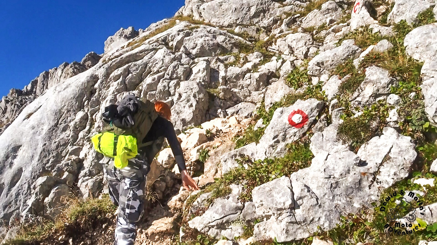
Climbing Bobotov Kuk
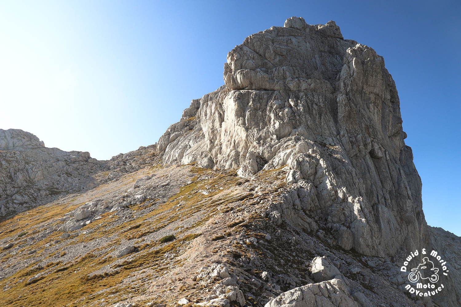
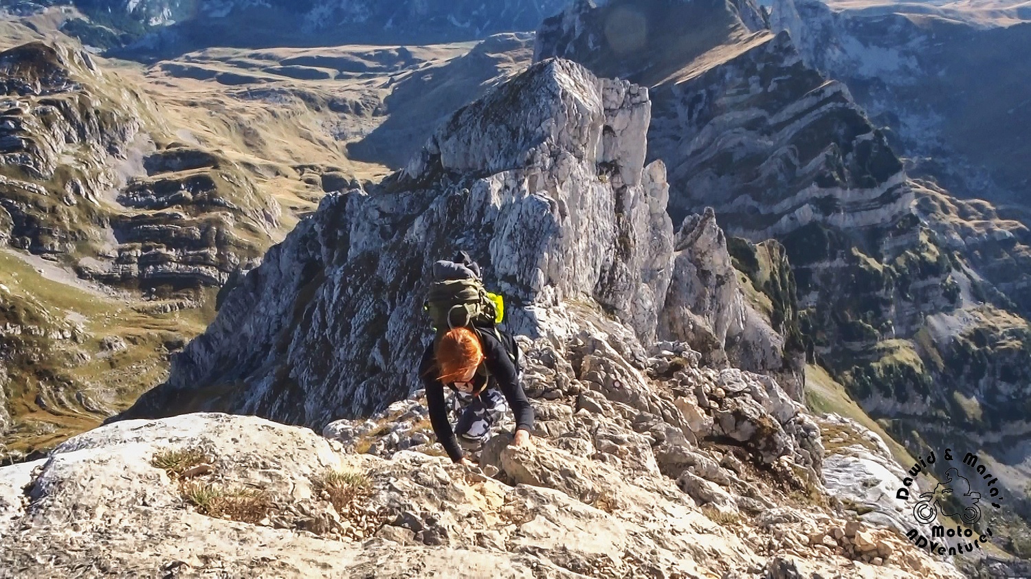
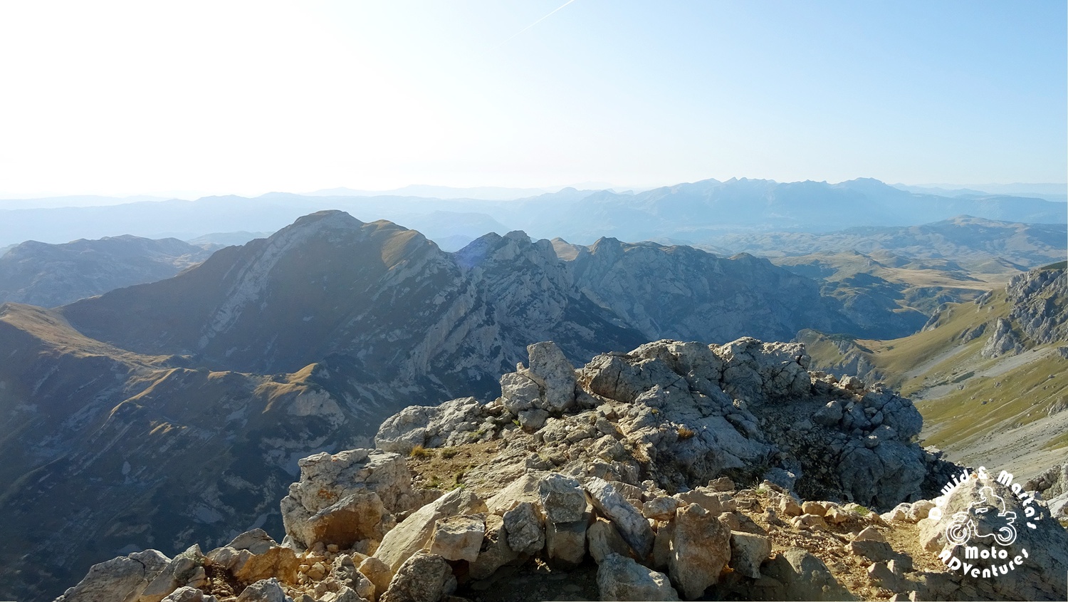
We had last 480 meters to hike and a huge piece of stone to conquer.
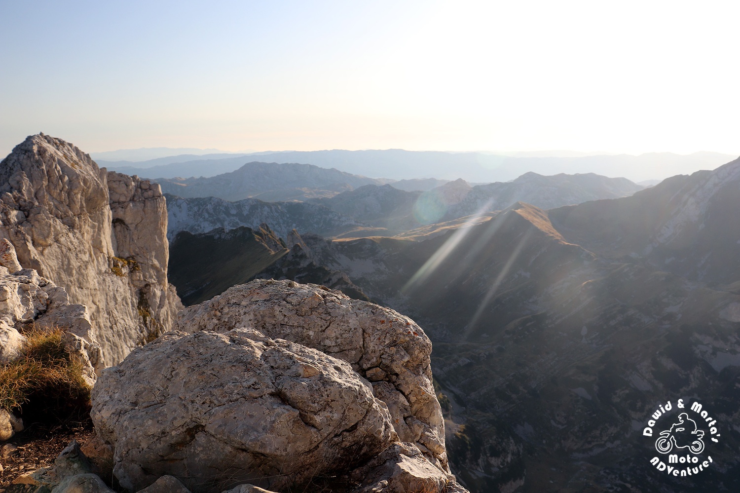
When we got over the first steep section, to our surprise, from under the stony cliff at which we were standing, Veliko Skrcko Jezero appeared down in the valley, hiding slowly in the mountains shadow as the sun already started to set.
The beauty of the lake felt even more amazing with adrenaline rush unleashed, when we looked down to see there's nothing, just straight way down.
One bad, slippery move and... end of all journeys on the spot.
From there the trail lead us parallel to the cliff edge...
Right to the stone wall.
We didn't expect that we would have to actually climb almost vertical walls without any supporting lines, chains or anything ¯\_(ツ)_/¯ It was a bit, hm, intimidating. But somehow we managed this (งʘ▾ʘ)ง
A little bit higher there were some ropes to hold on.
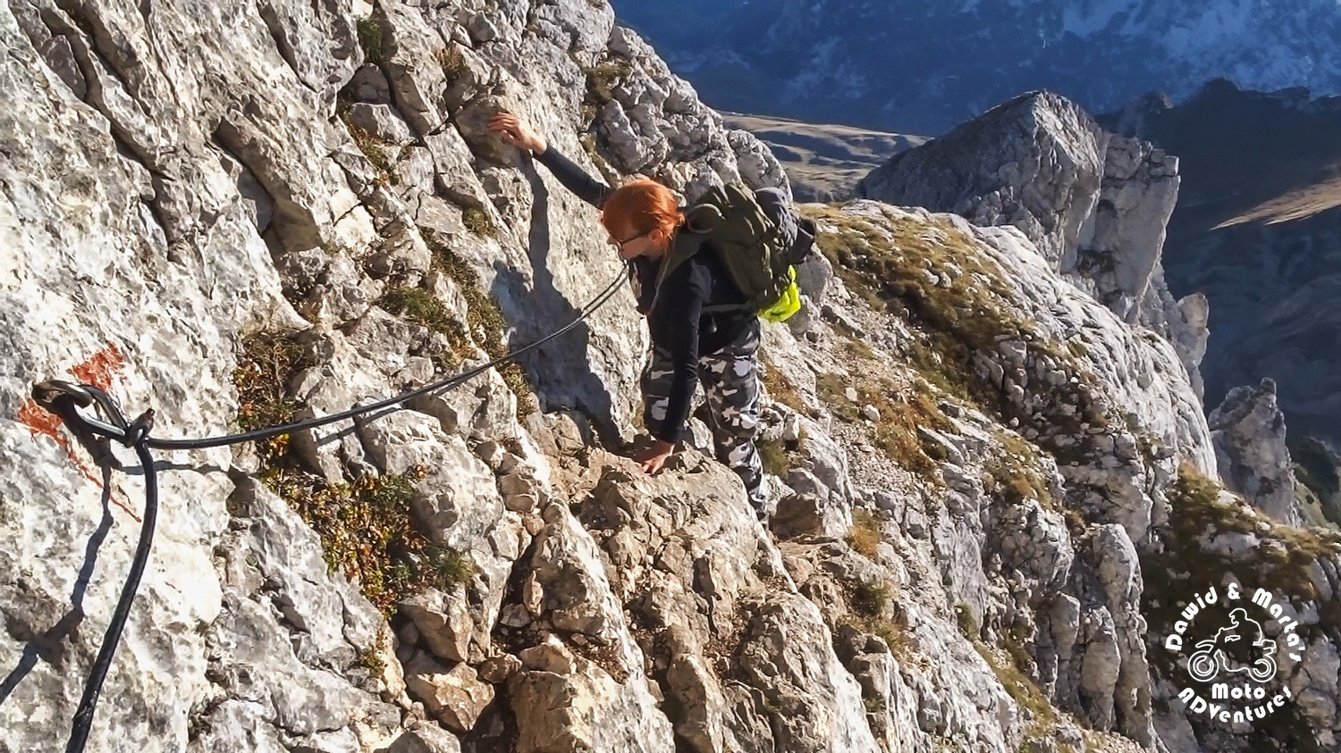
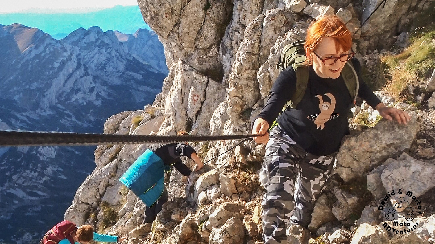
However, for the last few meters, again, you just cling onto the rocks.
At moments we wondered what are we doing there ;)
From what we’ve read such a trail wouldn’t be admitted for ordinary people, like us, to walk in our country. It would be marked as for professional mountaineers only.
Of course, we don't want to make a drama - the trail is passable. But you have to really watch, where you put your feet and what rocks you grab with your hands. No jokes with this trail! Just one slip would end up with tragedy.
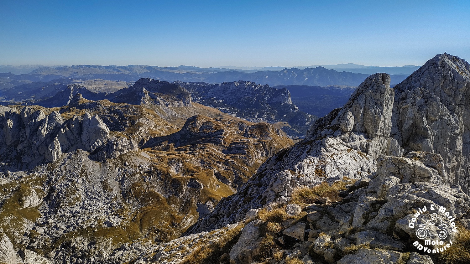
But the views from the top were truly worth all the fear.
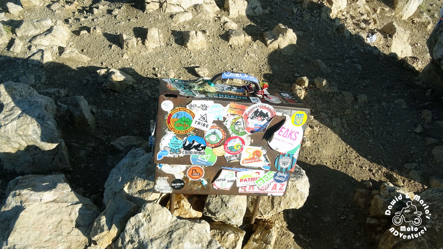
There was also a box at the top, but we didn't open it.
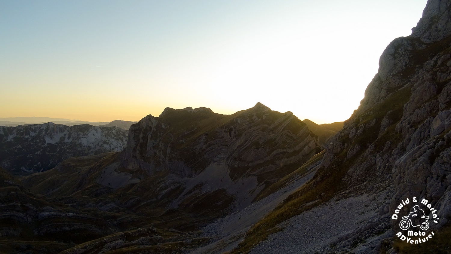
When we reached the Bobotov summit, we just made some photos quickly and rushed back (but not too fast ;)) The views were amazing, but the wind was so strong you would think it would blow you off the crag.
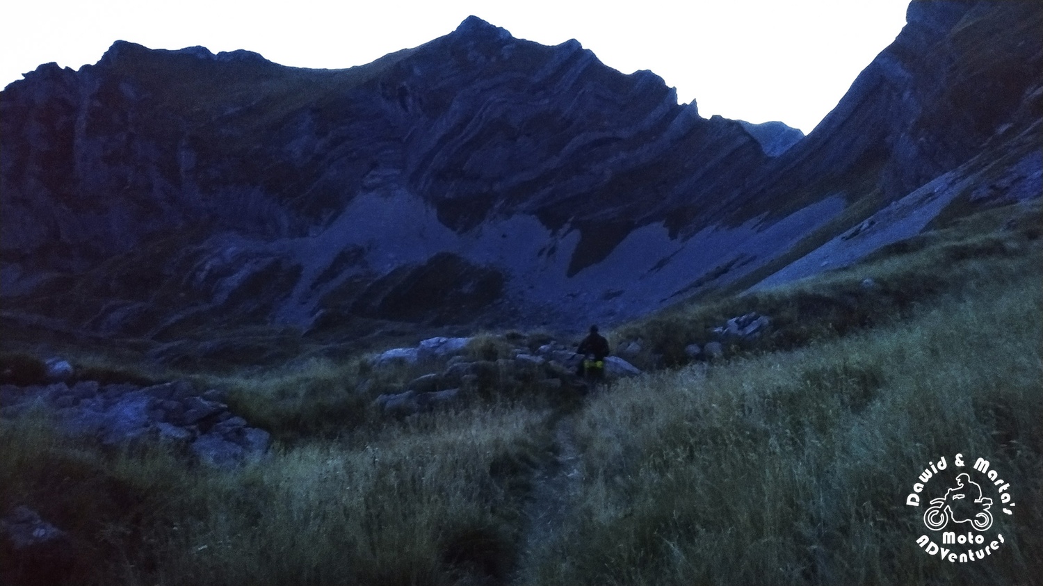
After we passed the worst part of the trail with the lines and walls, halfway to Velika Previja, we chilled down a bit. But, of course, it was getting late, the sun was setting on the horizon, hiding behind the mountains, and we were still over 2300 meter up.
Back to Urdeni Do
First 800 meters of trail (300 meters down) were the worst (steep, rocky, slippery gravel everywhere), but fortunately, we managed to cover this in the daylight still.
We stumbled upon a crossing near Zeleni Vir with two options, judging from the map:
- Trail with bigger section leading through mountains (by the Zeleni Vir bank and near Zupci and Uvita Greda)
- Longer trail, but with shorter section through mountains, through Miljecni Do and Urdeni Do valleys
We chose the longer option for our own safety as it was getting dark and although this route was longer - we managed to get to more gentle and meadowy terrain before total darkness embraced us.
Next 1.5h passed on walking and searching for the red dots marking the trail. We also helped ourselves with GPS to not miss the way for sure.
When we finally reached the tarmac road, there were only 16 km left to walk to our camping.
There was no traffic at all. We were in the middle of nowhere, still in national park, in complete darkness and silence. You couldn’t even hear any bug nor bird. Just a creepy crackling sound from time to time, louder or quieter, which, I suppose, was made by the stones coming or sliding off the mountain slopes.
There was nothing else left to do than just to scamper forward along the road.
It was getting cold and we were almost sleeping on our legs.
We walked over 6km when, unexpectedly, a car came out of nowhere and stopped when we waved.
The guy was heading to Zabljak and took us right to camping!
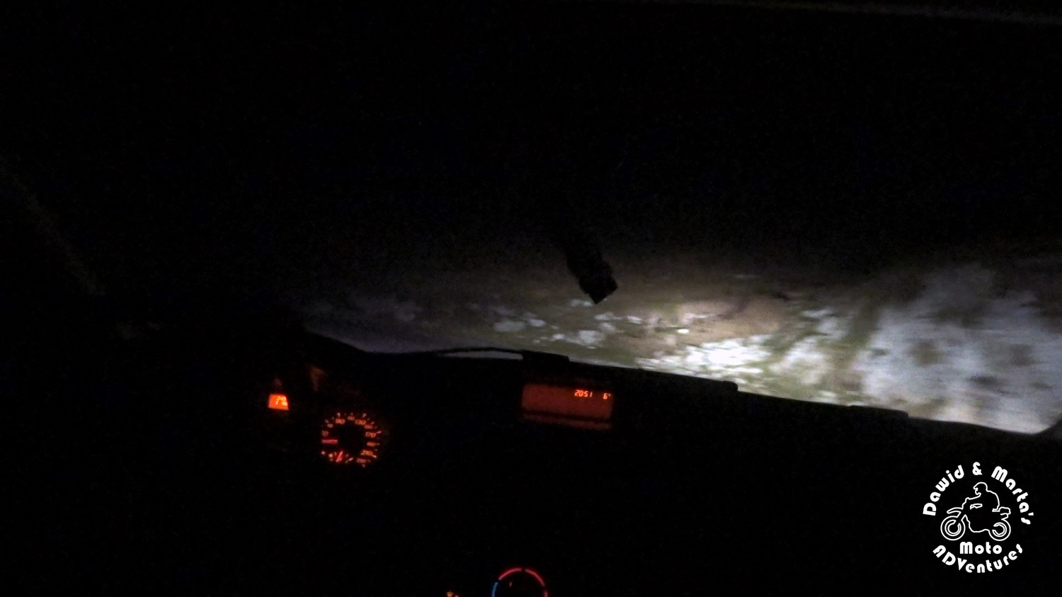
We were so lucky I can’t believe it even today!
Do we recommend this trail (Crno Jezero - Bobotov Kuk - Urdeni Do)?
Yes! But start earlier than we did ;) Take companion, lots of water and be careful.
Comments